UN/LOCODE hub · Venezuela
VEPDM
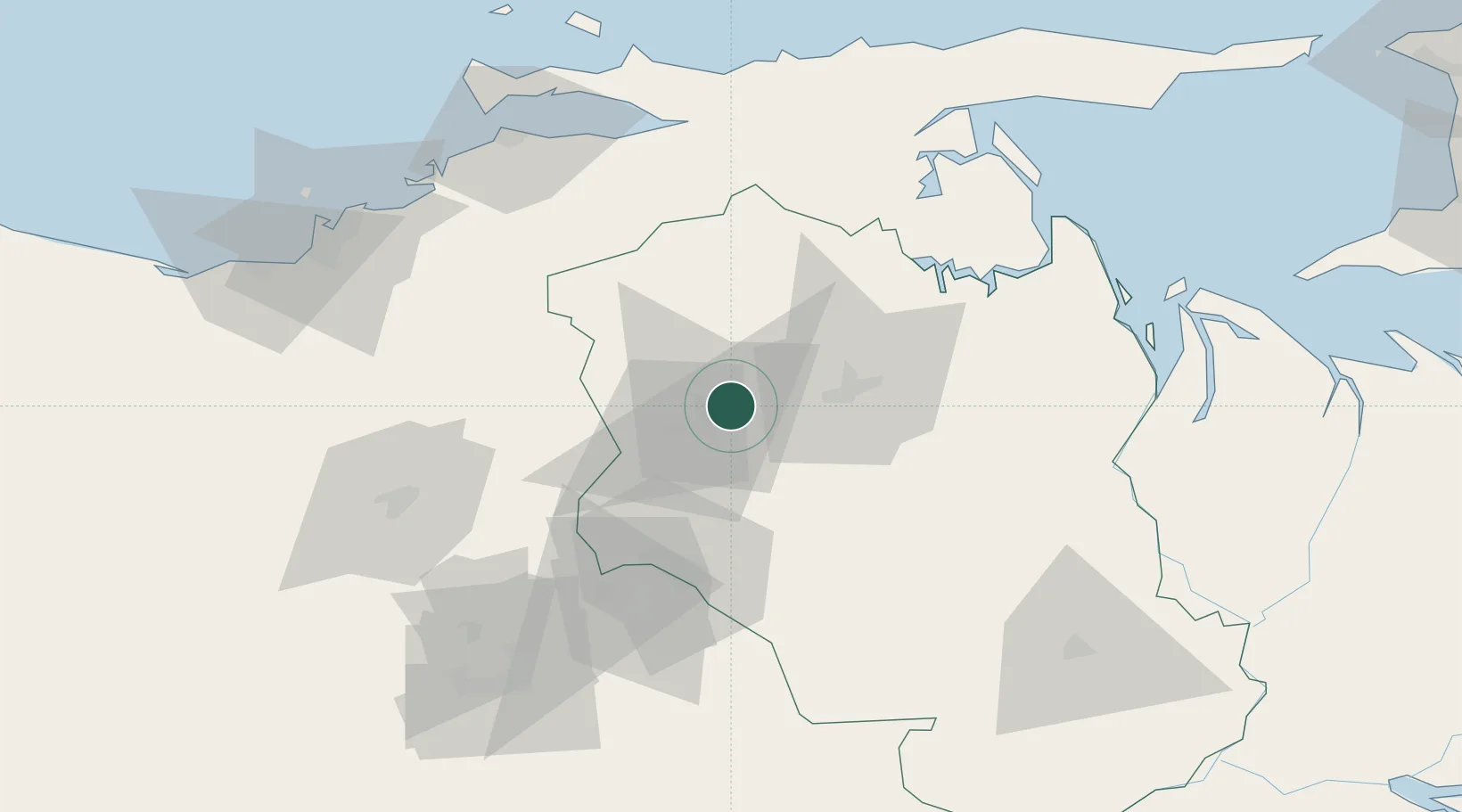
Punta de Mata
9.6833°, -63.5333°
61,080
Population
1
Transport functions
Transport Functions
Multimodal
Hub Profile
Place type
Provincial seat
Region
Monagas
Population
61,080
Time zone
America/Caracas
Elevation
246 m
Location
Nearby Logistics Neighbours
Cities
- 1Caripito74 km
- 2Puerto Carenero113 km
- 3Guanta132 km
- 4El Chaure134 km
- 5Jose Terminal152 km
Ports
- 1Caripito75 km
- 2Cumana (Puerto Sucre)113 km
- 3Carupano117 km
- 4Bahia De Pertigalete129 km
- 5Guanta131 km
Airports
- 1José Tadeo Monagas International Airport42 km
- 2San Tomé Airport107 km
- 3Anaco Airport107 km
- 4Antonio José de Sucre Airport108 km
- 5General Francisco Bermúdez Airport113 km
Trade Zones
DatabookThe Record of Consolidated Knowledge
Venezuela beyond logistics?