UN/LOCODE hub · Venezuela
VEPLA

Palúa

8.3500°, -62.6667°
2
Transport functions

Transport Functions

Port
Airport
Palúa is also a profiled seaport →
UN/LOCODE

Hub Profile

Place type
Urban district
GeoNames
Region
Bolívar
GeoNames
Time zone
America/Caracas
GeoNames
Elevation
56 m
GeoNames

Location

Location of VEPLA
Natural Earth 10m (public domain) · Bolívar · VEPLA · 8.35, -62.67GoogleOSMYandex

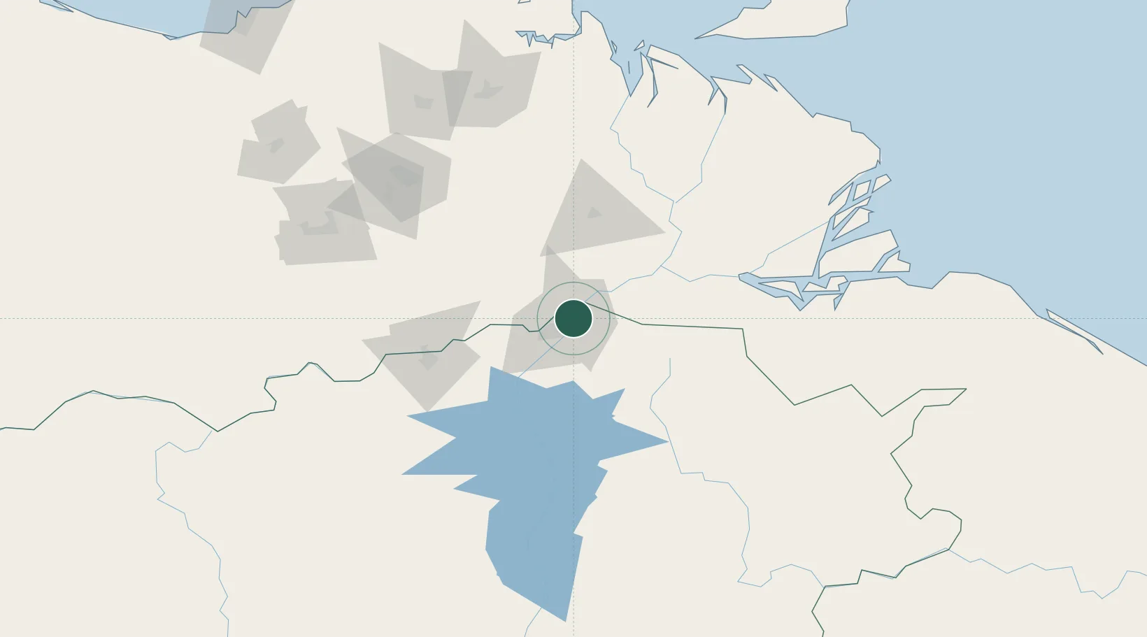
Nearby Logistics Neighbours

Cities
  1. 1Scotland50 km
  2. 2Ciudad Bolívar101 km
  3. 3Punta de Mata176 km
  4. 4Caripito202 km
  5. 5Siparia236 km
Nearest neighbours — logibook spatial index (haversine) over the source coordinates
Ports
  1. 1Puerto Ordaz6 km
  2. 2Ciudad Bolivar100 km
  3. 3Caripito204 km
  4. 4Point Fortin232 km
  5. 5Brighton240 km
Nearest neighbours — logibook spatial index (haversine) over the source coordinates
Airports
  1. 1General Manuel Carlos Piar International Airport12 km
  2. 2General Tomas de Heres Airport99 km
  3. 3Tucupita Airport104 km
  4. 4José Tadeo Monagas International Airport165 km
  5. 5Tumeremo Airport175 km
Nearest neighbours — logibook spatial index (haversine) over the source coordinates
Trade Zones
  1. 1Point Fortin Industrial Park230 km
  2. 2Debe Industrial Park248 km
  3. 3Moruga Agro-Processing and Light Industrial Park255 km
  4. 4Harmony Hall Industrial Park257 km
  5. 5Plaisance Industrial Park258 km
Nearest neighbours — logibook spatial index (haversine) over the source coordinates
DatabookThe Record of Consolidated Knowledge
Venezuela beyond logistics?
Browse databook

All Sources

LocationsUN/LOCODE
UN/LOCODE — free
Portsthe NGA World Port Index
Public domain (US gov)
AirportsOurAirports
Public domain
Trade Zonesthe World Bank SEZ database
CC BY 4.0
Trade ZonesOpen Zone Map
CC BY
← Venezuela locations