Transport Functions
Port
Road
Hub Profile
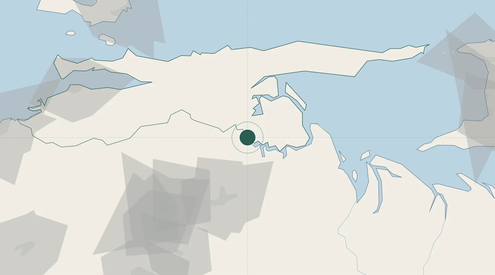
Place type
Provincial seat
Region
Monagas
Population
43,448
Time zone
America/Caracas
Elevation
37 m
Location
Nearby Logistics Neighbours
Cities
- 1Punta de Mata74 km
- 2Puerto Carenero130 km
- 3La Asuncion137 km
- 4Agua de Vaca140 km
- 5South Oropouche163 km
Ports
- 1Carupano67 km
- 2Guiria94 km
- 3Puerto De Hierro116 km
- 4Cumana (Puerto Sucre)131 km
- 5El Guamache145 km
Airports
DatabookThe Record of Consolidated Knowledge
Venezuela beyond logistics?