Transport Functions
Road
Multimodal
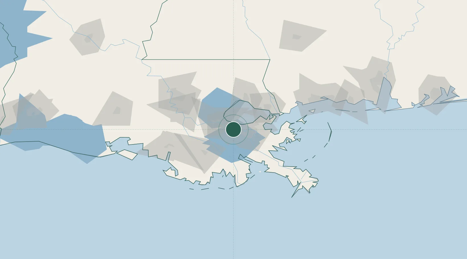
Hub Profile
Place type
Populated place
Region
Louisiana
Population
1,316
Time zone
America/Chicago
Elevation
3 m
Location
Nearby Logistics Neighbours
Cities
- 1Saint Rose3 km
- 2River Ridge8 km
- 3Avondale8 km
- 4Waggaman9 km
- 5Boutte11 km
Ports
- 1St Rose3 km
- 2Destrehan8 km
- 3Gretna21 km
- 4New Orleans23 km
- 5Reserve28 km
Airports
Trade Zones
- 1FTZ No. 002 New Orleans21 km
- 2FTZ No. 124 Gramercy43 km
- 3FTZ No. 279 Terrebonne Parish105 km
- 4FTZ No. 154 Baton Rouge108 km
- 5FTZ No. 155 Calhoun Victoria Counties108 km
DatabookThe Record of Consolidated Knowledge
United States beyond logistics?