UN/LOCODE hub · United States
USAVD
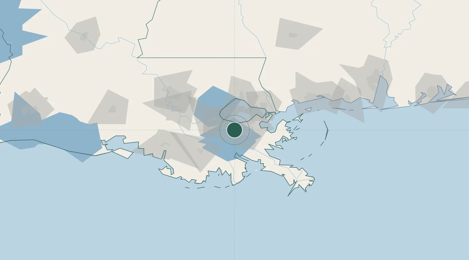
Avondale
29.9196°, -90.2077°
4,954
Population
2
Transport functions
Transport Functions
Port
Road
Hub Profile
Place type
Populated place
Region
Louisiana
Population
4,954
Time zone
America/Chicago
Elevation
1 m
Logistics facilities
1
Location
Nearby Logistics Neighbours
Cities
- 1Waggaman1 km
- 2River Ridge4 km
- 3Bridge City4 km
- 4Ama8 km
- 5Marrero11 km
Ports
- 1St Rose11 km
- 2Gretna14 km
- 3New Orleans16 km
- 4Destrehan16 km
- 5Reserve36 km
Airports
Trade Zones
- 1FTZ No. 002 New Orleans14 km
- 2FTZ No. 124 Gramercy51 km
- 3FTZ No. 279 Terrebonne Parish109 km
- 4FTZ No. 154 Baton Rouge116 km
- 5FTZ No. 155 Calhoun Victoria Counties116 km
DatabookThe Record of Consolidated Knowledge
United States beyond logistics?