Transport Functions
Rail
Road
Airport
Hub Profile
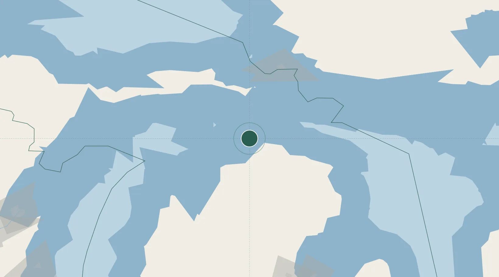
Place type
Populated place
Region
Michigan
Population
829
Time zone
America/Detroit
Elevation
213 m
Location
Nearby Logistics Neighbours
Cities
- 1Alanson13 km
- 2Conway16 km
- 3Harbor Springs20 km
- 4Boyne City41 km
- 5Boyne Falls44 km
Ports
- 1Harbor Springs20 km
- 2Petoskey25 km
- 3Mackinaw City27 km
- 4Cheboygan27 km
- 5Mackinac Island36 km
Airports
Trade Zones
- 1FTZ No. 016 Sault Ste. Marie108 km
- 2FTZ No. 189 Kent Ottawa/Muskegon Counties284 km
- 3FTZ No. 101 Clinton County290 km
- 4FTZ No. 284 Genesee County291 km
- 5FTZ No. 140 Flint294 km
DatabookThe Record of Consolidated Knowledge
United States beyond logistics?