UN/LOCODE hub · United States
USWDO
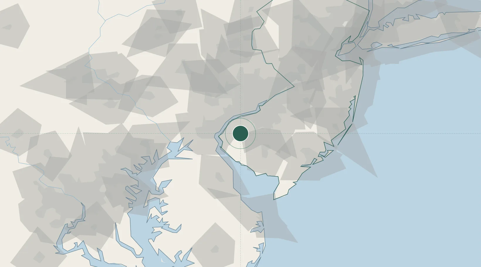
Woodstown
39.6500°, -75.3167°
3,524
Population
2
Transport functions
Transport Functions
Rail
Road
Hub Profile
Place type
Populated place
Region
New Jersey
Population
3,524
Time zone
America/New_York
Elevation
13 m
Location
Nearby Logistics Neighbours
Cities
- 1Township of Woolwich9 km
- 2Mannington Mills14 km
- 3Mannington15 km
- 4Elmer15 km
- 5Logan Township15 km
Ports
- 1Salem Nj14 km
- 2Deepwater Point18 km
- 3Marcus Hook20 km
- 4New Castle21 km
- 5Wilmington22 km
Airports
Trade Zones
- 1FTZ No. 099 Wilmington22 km
- 2FTZ No. 142 Salem Millville34 km
- 3FTZ No. 035 Philadelphia40 km
- 4FTZ No. 200 Mercer County81 km
- 5FTZ No. 235 Lakewood103 km
DatabookThe Record of Consolidated Knowledge
United States beyond logistics?