UN/LOCODE hub · United States
USMT7
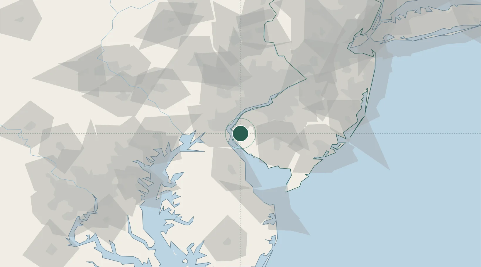
Mannington
39.5667°, -75.4500°
2,077
Population
2
Transport functions
Transport Functions
Road
Multimodal
Hub Profile
Place type
Populated place
Region
West Virginia
Population
2,077
Time zone
America/New_York
Elevation
297 m
Location
Nearby Logistics Neighbours
Cities
- 1Mannington Mills2 km
- 2Hancocks Bridge7 km
- 3Delaware City11 km
- 4Woodstown15 km
- 5Wilmington18 km
Ports
- 1Salem Nj12 km
- 2New Castle14 km
- 3Deepwater Point16 km
- 4Wilmington20 km
- 5Marcus Hook28 km
Airports
Trade Zones
- 1FTZ No. 099 Wilmington21 km
- 2FTZ No. 142 Salem Millville35 km
- 3FTZ No. 035 Philadelphia51 km
- 4FTZ No. 200 Mercer County94 km
- 5FTZ No. 074 Baltimore104 km
DatabookThe Record of Consolidated Knowledge
United States beyond logistics?