UN/LOCODE hub · United States
USTNN
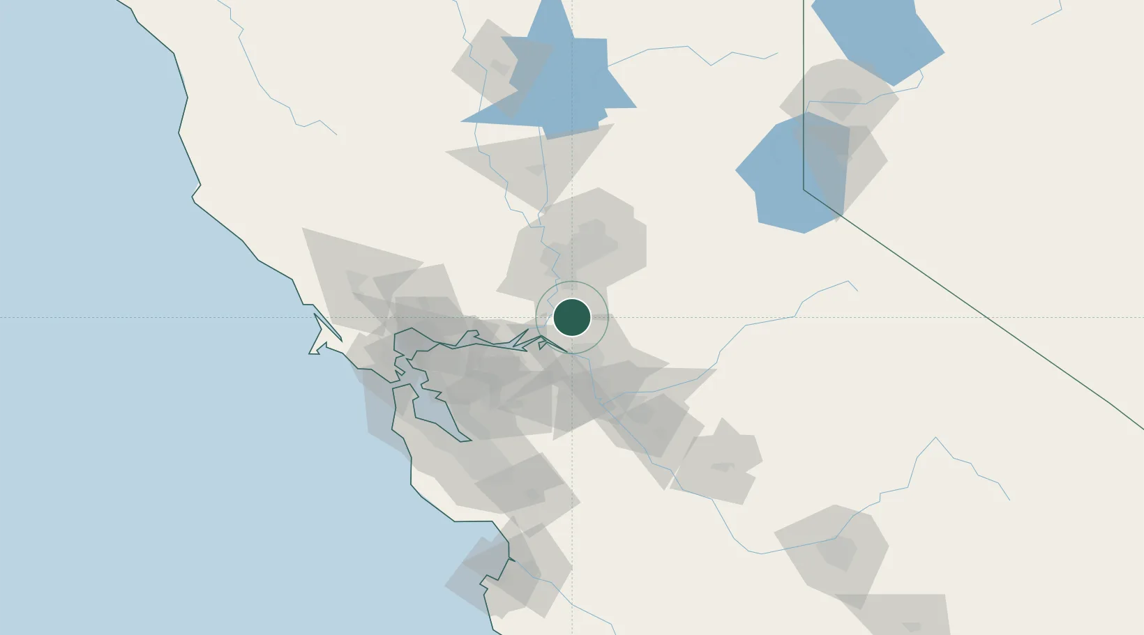
Thornton
38.2167°, -121.4167°
1,131
Population
3
Transport functions
Transport Functions
Rail
Road
Multimodal
Hub Profile
Place type
Populated place
Region
California
Population
1,131
Time zone
America/Los_Angeles
Elevation
4 m
Location
Nearby Logistics Neighbours
Cities
- 1Walnut Grove9 km
- 2Galt11 km
- 3Acampo13 km
- 4Victor21 km
- 5East Stockton31 km
Ports
- 1Walnut Grove9 km
- 2Isleton17 km
- 3Courtland18 km
- 4Rio Vista26 km
- 5Stockton31 km
Airports
Trade Zones
- 1FTZ No. 231 Stockton31 km
- 2FTZ No. 143 West Sacramento42 km
- 3FTZ No. 056 Oakland88 km
- 4FTZ No. 003 San Francisco98 km
- 5FTZ No. 018 San Jose106 km
DatabookThe Record of Consolidated Knowledge
United States beyond logistics?