UN/LOCODE hub · United States
USLU8

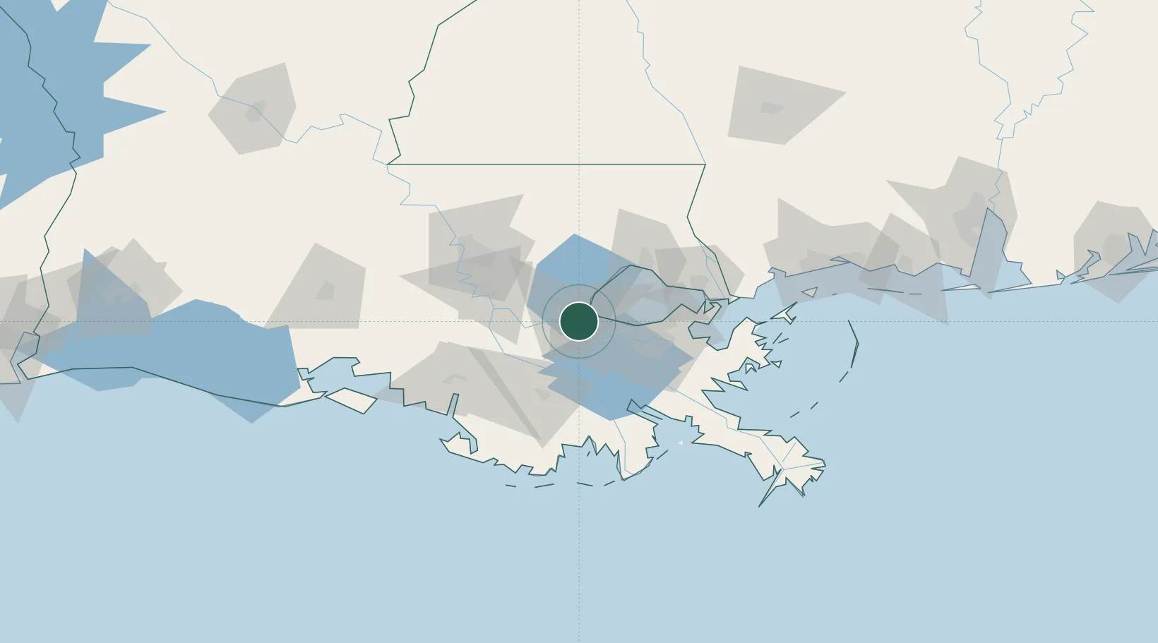
Port Of South Louisiana

30.0500°, -90.5000°
2
Transport functions

Transport Functions

Port
Multimodal
UN/LOCODE

Hub Profile

Region
LA
GeoNames

Location

Location of USLU8
Natural Earth 10m (public domain) · LA · USLU8 · 30.05, -90.50GoogleOSMYandex

Nearby Logistics Neighbours

Cities
  1. 1Killona6 km
  2. 2Taft10 km
  3. 3Good Hope12 km
  4. 4Lutcher19 km
  5. 5Boutte20 km
Nearest neighbours — logibook spatial index (haversine) over the source coordinates
Ports
  1. 1Reserve5 km
  2. 2Destrehan17 km
  3. 3St Rose21 km
  4. 4Convent32 km
  5. 5St. James33 km
Nearest neighbours — logibook spatial index (haversine) over the source coordinates
Airports
  1. 1Louis Armstrong New Orleans International Airport24 km
  2. 2Lakefront Airport45 km
  3. 3New Orleans NAS JRB/Alvin Callender Field51 km
  4. 4Baton Rouge Metropolitan Airport82 km
  5. 5McComb-Pike County Airport / John E Lewis Field126 km
Nearest neighbours — logibook spatial index (haversine) over the source coordinates
Trade Zones
  1. 1FTZ No. 124 Gramercy21 km
  2. 2FTZ No. 002 New Orleans44 km
  3. 3FTZ No. 154 Baton Rouge84 km
  4. 4FTZ No. 155 Calhoun Victoria Counties84 km
  5. 5FTZ No. 279 Terrebonne Parish97 km
Nearest neighbours — logibook spatial index (haversine) over the source coordinates
DatabookThe Record of Consolidated Knowledge
United States beyond logistics?
Browse databook

All Sources

LocationsUN/LOCODE
UN/LOCODE — free
Portsthe NGA World Port Index
Public domain (US gov)
AirportsOurAirports
Public domain
Trade Zonesthe World Bank SEZ database
CC BY 4.0
Trade ZonesOpen Zone Map
CC BY
← United States locations