Transport Functions
Port
Road
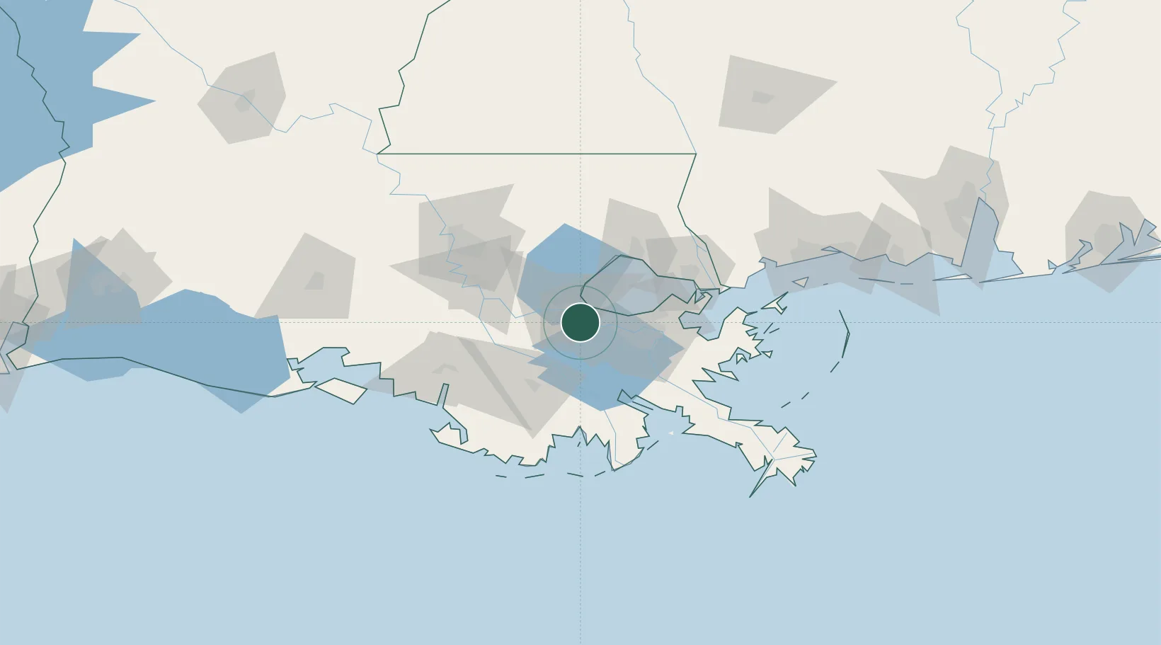
Hub Profile
Place type
Populated place
Region
Louisiana
Population
63
Time zone
America/Chicago
Elevation
4 m
Location
Nearby Logistics Neighbours
Cities
- 1Good Hope3 km
- 2Killona5 km
- 3Port Of South Louisiana10 km
- 4Boutte10 km
- 5Saint Rose12 km
Ports
- 1Destrehan7 km
- 2St Rose12 km
- 3Reserve14 km
- 4Gretna36 km
- 5New Orleans37 km
Airports
Trade Zones
DatabookThe Record of Consolidated Knowledge
United States beyond logistics?