Transport Functions
Rail
Road
Hub Profile
Place type
Populated place
Region
Louisiana
Population
3,373
Time zone
America/Chicago
Elevation
5 m
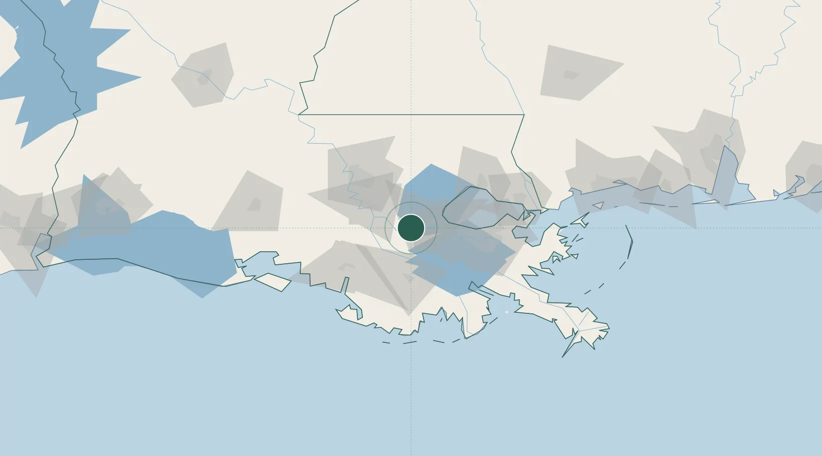
Location
Nearby Logistics Neighbours
Cities
- 1Vacherie4 km
- 2Romeville13 km
- 3Saint James14 km
- 4Welcome16 km
- 5Port Of South Louisiana19 km
Airports
Trade Zones
DatabookThe Record of Consolidated Knowledge
United States beyond logistics?