Channel & Berth Profile
Pilotage, Tugs & Services
Pilotage compulsoryYES
Pilotage availableYES
Pilotage advisableYES
Tug assistanceYES
Shore powerYES
Potable waterYES
Diesel bunkersYES
MedicalYES
Garbage disposalYES
Facilities & Capabilities
Container—
Ro-Ro—
Liquid bulk—
Dry bulk—
Oil terminal—
Break bulk—
Dry dockNO
RepairsNO
BunkeringYES
Rail linkYES
Dangerous cargo—
ISPS security—
Harbour Specifications
Harbour size
Small
Harbour type
Coastal (Natural)
Shelter
Excellent
Water body
North Pacific Ocean
Tidal range
1.2 m
Overhead limit
Yes
Pilotage
Yes
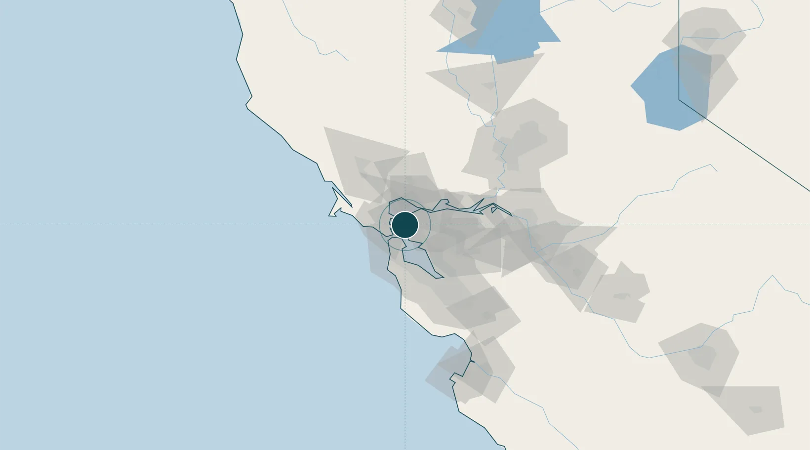
Location
Nearby Logistics Neighbours
Ports
- 1Point San Pablo8 km
- 2Berkeley8 km
- 3Pinole Point11 km
- 4Oakland12 km
- 5San Francisco12 km
Cities
- 1Kensington9 km
- 2Tiburon9 km
- 3Pinole12 km
- 4Hercules13 km
- 5Greenbrae13 km
Airports
Trade Zones
- 1FTZ No. 003 San Francisco14 km
- 2FTZ No. 056 Oakland15 km
- 3FTZ No. 018 San Jose77 km
- 4FTZ No. 231 Stockton91 km
- 5FTZ No. 143 West Sacramento104 km
DatabookThe Record of Consolidated Knowledge
United States beyond logistics?