UN/LOCODE hub · United States
USP2C

Pinole

38.0000°, -122.2833°
19,269
Population
1
Transport functions

Transport Functions

Multimodal
Pinole is also a profiled seaport →
UN/LOCODE

Hub Profile

Place type
Populated place
GeoNames
Region
California
GeoNames
Population
19,269
GeoNames
Time zone
America/Los_Angeles
GeoNames
Elevation
31 m
GeoNames

Location

Location of USP2C
Natural Earth 10m (public domain) · California · USP2C · 38.00, -122.28GoogleOSMYandex

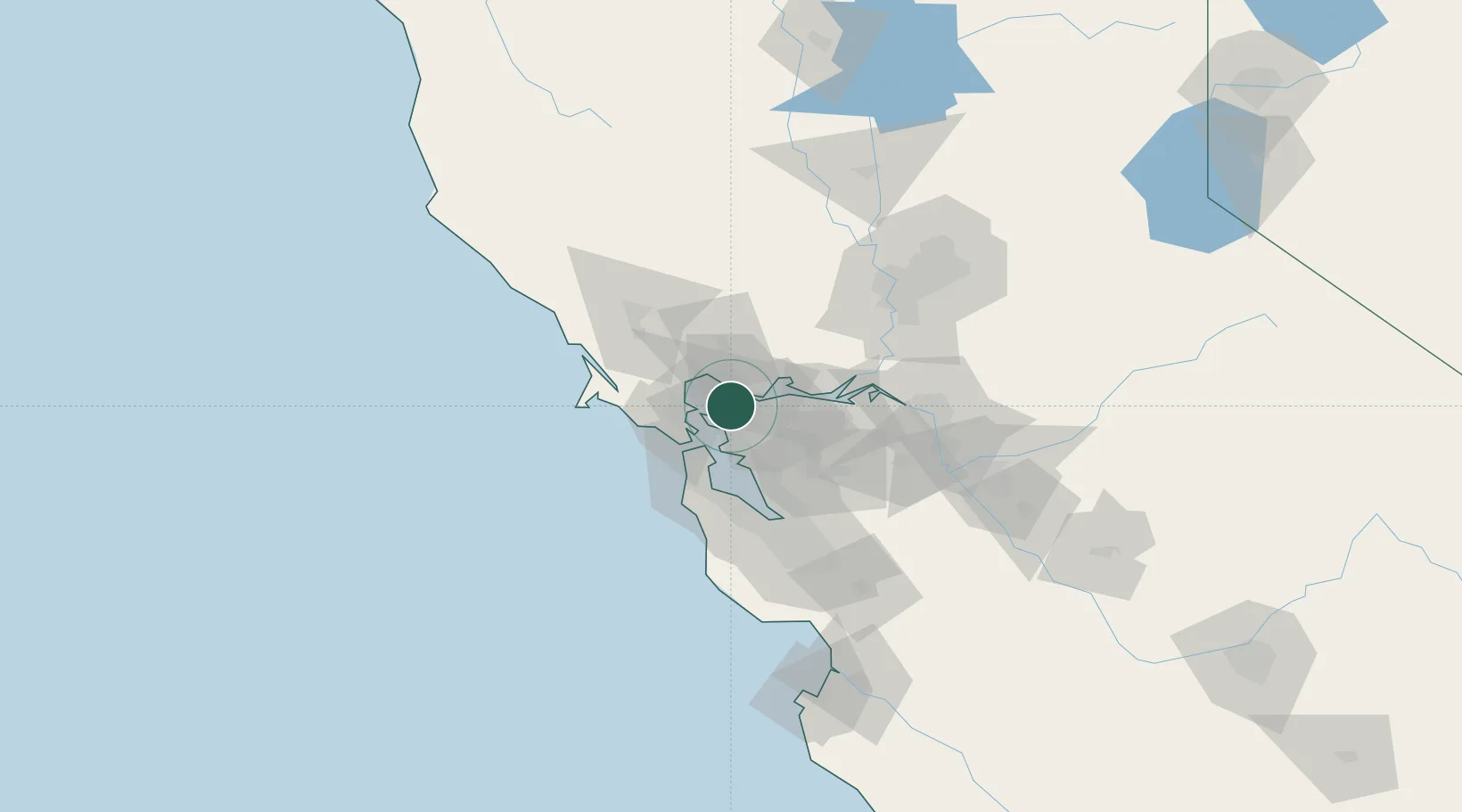
Nearby Logistics Neighbours

Cities
  1. 1Hercules1 km
  2. 2Rodeo4 km
  3. 3Oleum6 km
  4. 4Kensington11 km
  5. 5Richmond13 km
Nearest neighbours — logibook spatial index (haversine) over the source coordinates
Ports
  1. 1Oleum6 km
  2. 2Crockett8 km
  3. 3South Vallejo10 km
  4. 4Port Costa10 km
  5. 5Mare Island11 km
Nearest neighbours — logibook spatial index (haversine) over the source coordinates
Airports
  1. 1Buchanan Field20 km
  2. 2San Francisco Bay Oakland International Airport32 km
  3. 3Travis Air Force Base43 km
  4. 4San Francisco International Airport43 km
  5. 5San Carlos Airport54 km
Nearest neighbours — logibook spatial index (haversine) over the source coordinates
Trade Zones
  1. 1FTZ No. 056 Oakland22 km
  2. 2FTZ No. 003 San Francisco25 km
  3. 3FTZ No. 018 San Jose82 km
  4. 4FTZ No. 231 Stockton84 km
  5. 5FTZ No. 143 West Sacramento93 km
Nearest neighbours — logibook spatial index (haversine) over the source coordinates
DatabookThe Record of Consolidated Knowledge
United States beyond logistics?
Browse databook

All Sources

LocationsUN/LOCODE
UN/LOCODE — free
LocationsGeoNames
CC BY 4.0
Portsthe NGA World Port Index
Public domain (US gov)
AirportsOurAirports
Public domain
Trade Zonesthe World Bank SEZ database
CC BY 4.0
Trade ZonesOpen Zone Map
CC BY
← United States locations