UN/LOCODE hub · United States
USRCH
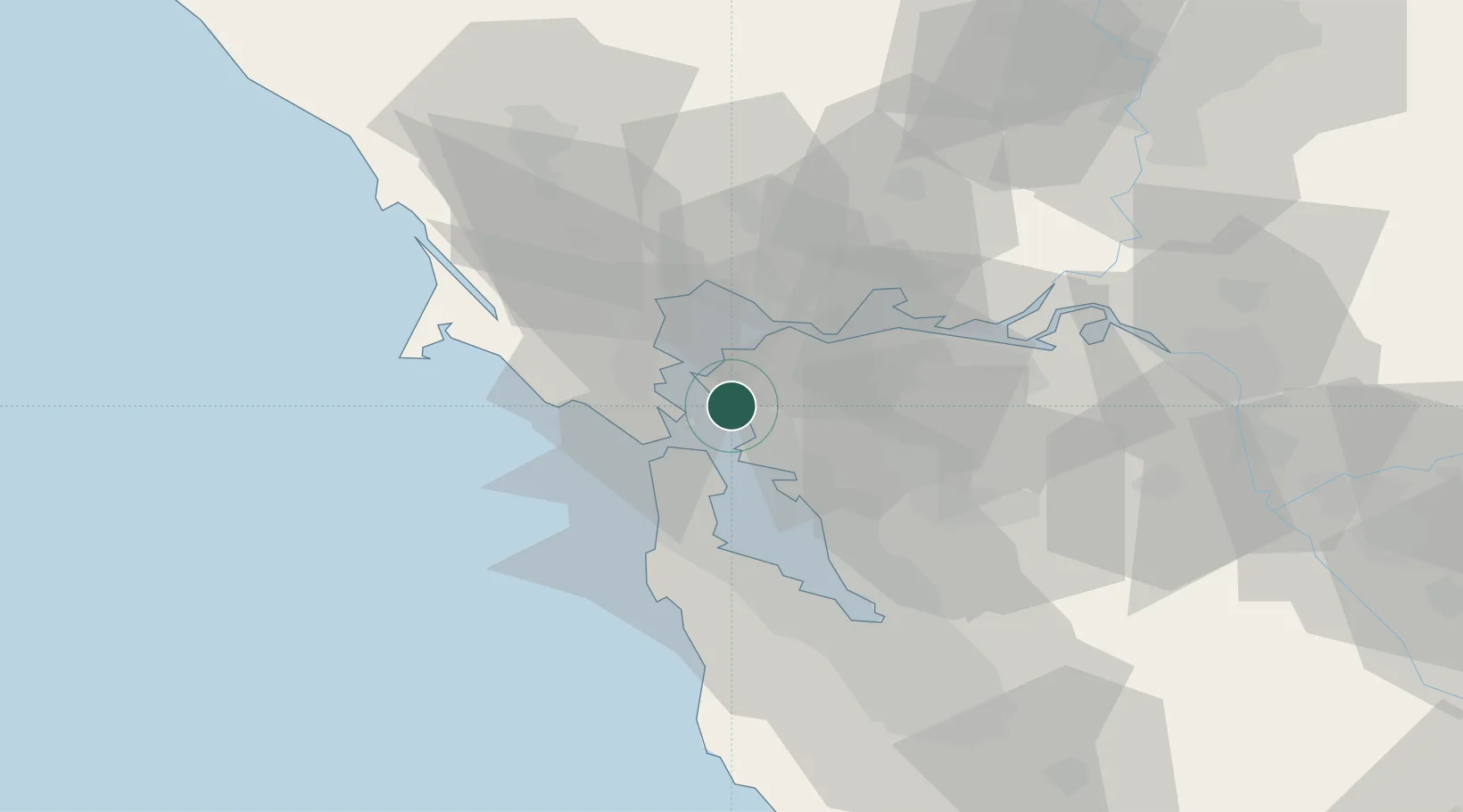
Richmond
37.8952°, -122.3459°
109,708
Population
2
Transport functions
Transport Functions
Port
Road
Hub Profile
Place type
Populated place
Region
California
Population
109,708
Time zone
America/Los_Angeles
Elevation
14 m
Logistics facilities
4
Location
Nearby Logistics Neighbours
Cities
- 1Kensington7 km
- 2Tiburon10 km
- 3Pinole13 km
- 4Hercules14 km
- 5Oakland14 km
Ports
- 1Berkeley5 km
- 2Oakland9 km
- 3San Francisco11 km
- 4Point San Pablo11 km
- 5Sausalito13 km
Airports
Trade Zones
- 1FTZ No. 003 San Francisco12 km
- 2FTZ No. 056 Oakland12 km
- 3FTZ No. 018 San Jose74 km
- 4FTZ No. 231 Stockton90 km
- 5FTZ No. 143 West Sacramento105 km
DatabookThe Record of Consolidated Knowledge
United States beyond logistics?