Transport Functions
Multimodal
Fixed Transport
Hub Profile
Place type
Populated place
Region
California
Time zone
America/Los_Angeles
Elevation
10 m
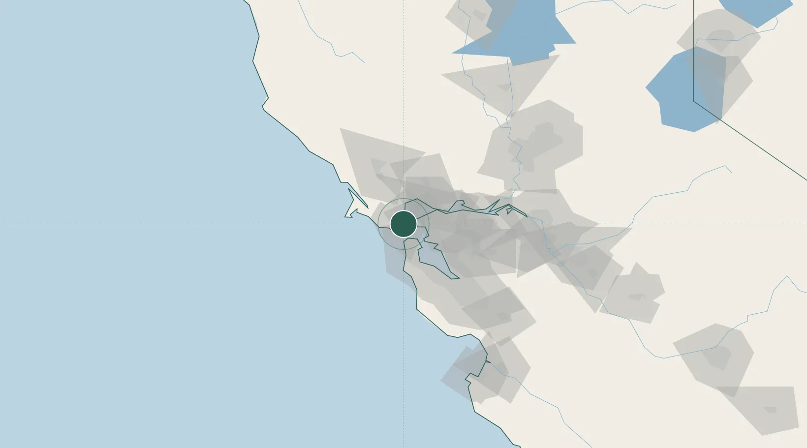
Location
Nearby Logistics Neighbours
Ports
- 1Point San Pablo8 km
- 2Sausalito10 km
- 3Point Richmond13 km
- 4San Francisco16 km
- 5Pinole Point16 km
Airports
Trade Zones
- 1FTZ No. 003 San Francisco19 km
- 2FTZ No. 056 Oakland26 km
- 3FTZ No. 018 San Jose87 km
- 4FTZ No. 231 Stockton104 km
- 5FTZ No. 143 West Sacramento113 km
DatabookThe Record of Consolidated Knowledge
United States beyond logistics?