UN/LOCODE hub · United States
USHXU
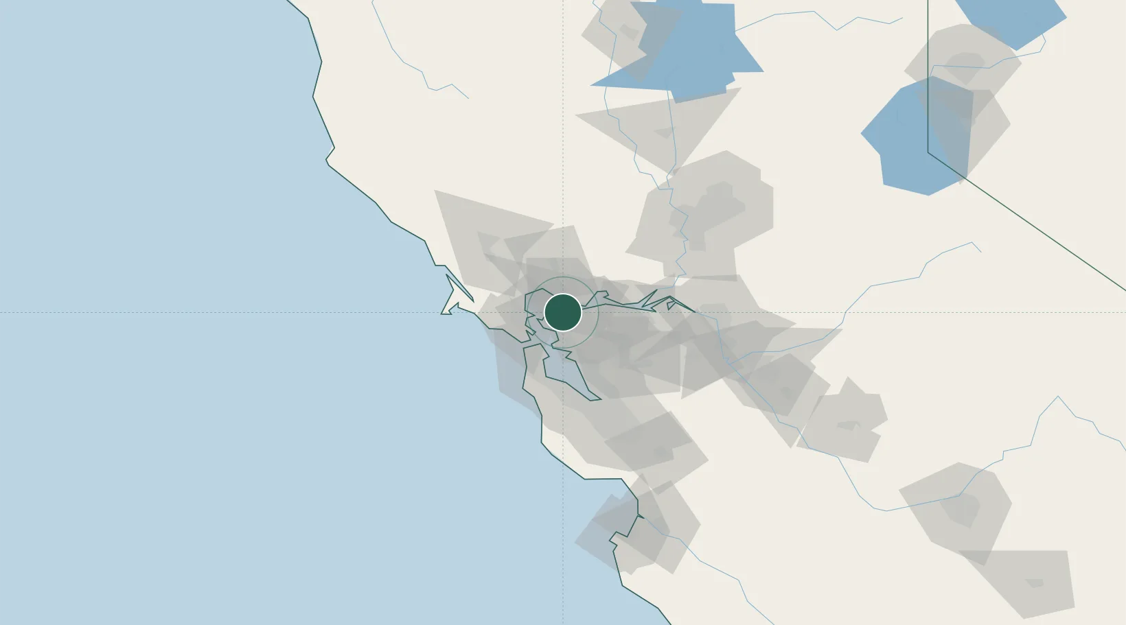
Hercules
38.0037°, -122.2690°
25,314
Population
3
Transport functions
Transport Functions
Port
Rail
Road
Hub Profile
Place type
Populated place
Region
California
Population
25,314
Time zone
America/Los_Angeles
Elevation
24 m
Logistics facilities
1
Location
Nearby Logistics Neighbours
Cities
- 1Pinole1 km
- 2Rodeo2 km
- 3Oleum5 km
- 4Kensington12 km
- 5Benicia12 km
Ports
- 1Oleum5 km
- 2Crockett7 km
- 3Pinole Point9 km
- 4South Vallejo9 km
- 5Port Costa9 km
Airports
Trade Zones
- 1FTZ No. 056 Oakland22 km
- 2FTZ No. 003 San Francisco26 km
- 3FTZ No. 018 San Jose81 km
- 4FTZ No. 231 Stockton83 km
- 5FTZ No. 143 West Sacramento92 km
DatabookThe Record of Consolidated Knowledge
United States beyond logistics?