UN/LOCODE hub · United States
USRDT
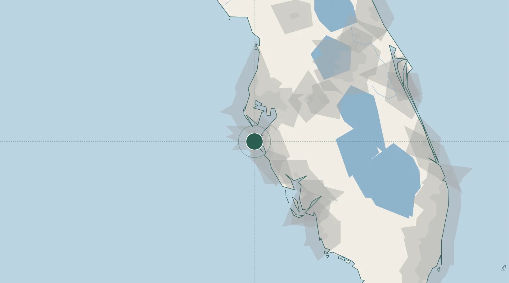
Bradenton Beach
27.4667°, -82.7000°
1,171
Population
2
Transport functions
Transport Functions
Road
Multimodal
Hub Profile
Place type
Populated place
Region
Florida
Population
1,171
Time zone
America/New_York
Elevation
-3 m
Location
Nearby Logistics Neighbours
Cities
- 1Longboat Key9 km
- 2Memphis17 km
- 3Sarasota22 km
- 4Port Manatee23 km
- 5Saint Pete Beach28 km
Ports
- 1Port Manatee23 km
- 2Sankt-Peterburg34 km
- 3Tampa56 km
- 4Tarpon Springs76 km
- 5Boca Grande93 km
Airports
Trade Zones
- 1FTZ No. 169 Manatee County5 km
- 2FTZ No. 079 Tampa59 km
- 3FTZ No. 193 Pinellas County70 km
- 4FTZ No. 215 Sebring116 km
- 5FTZ No. 213 Fort Myers123 km
DatabookThe Record of Consolidated Knowledge
United States beyond logistics?