UN/LOCODE hub · United States
USPIE
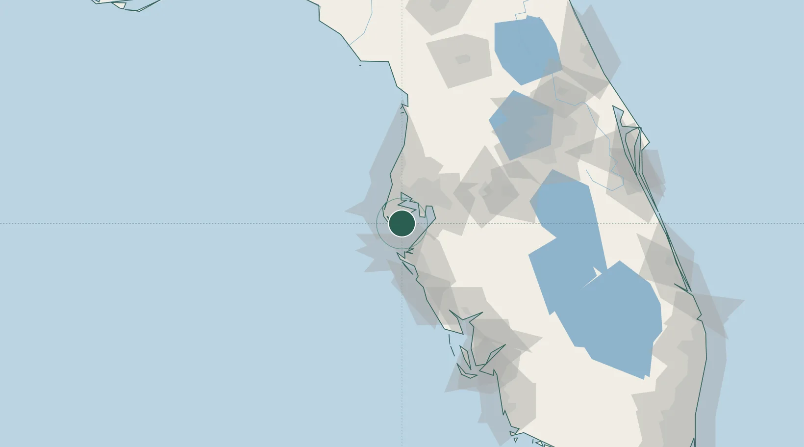
Saint Petersburg
27.7667°, -82.6833°
400
Population
4
Transport functions
Transport Functions
Port
Rail
Road
Airport
Hub Profile
Place type
Populated place
Region
Pennsylvania
Population
400
Time zone
America/New_York
Elevation
427 m
Location
Nearby Logistics Neighbours
Cities
- 1Saint Pete Beach7 km
- 2Pinellas Park8 km
- 3Madeira Beach10 km
- 4Seminole12 km
- 5Port Manatee19 km
Ports
- 1Sankt-Peterburg7 km
- 2Port Manatee19 km
- 3Tampa28 km
- 4Tarpon Springs43 km
- 5Boca Grande124 km
Airports
Trade Zones
- 1FTZ No. 079 Tampa31 km
- 2FTZ No. 193 Pinellas County38 km
- 3FTZ No. 169 Manatee County38 km
- 4FTZ No. 215 Sebring119 km
- 5FTZ No. 042 Orlando140 km
DatabookThe Record of Consolidated Knowledge
United States beyond logistics?