UN/LOCODE hub · United States
US6TT
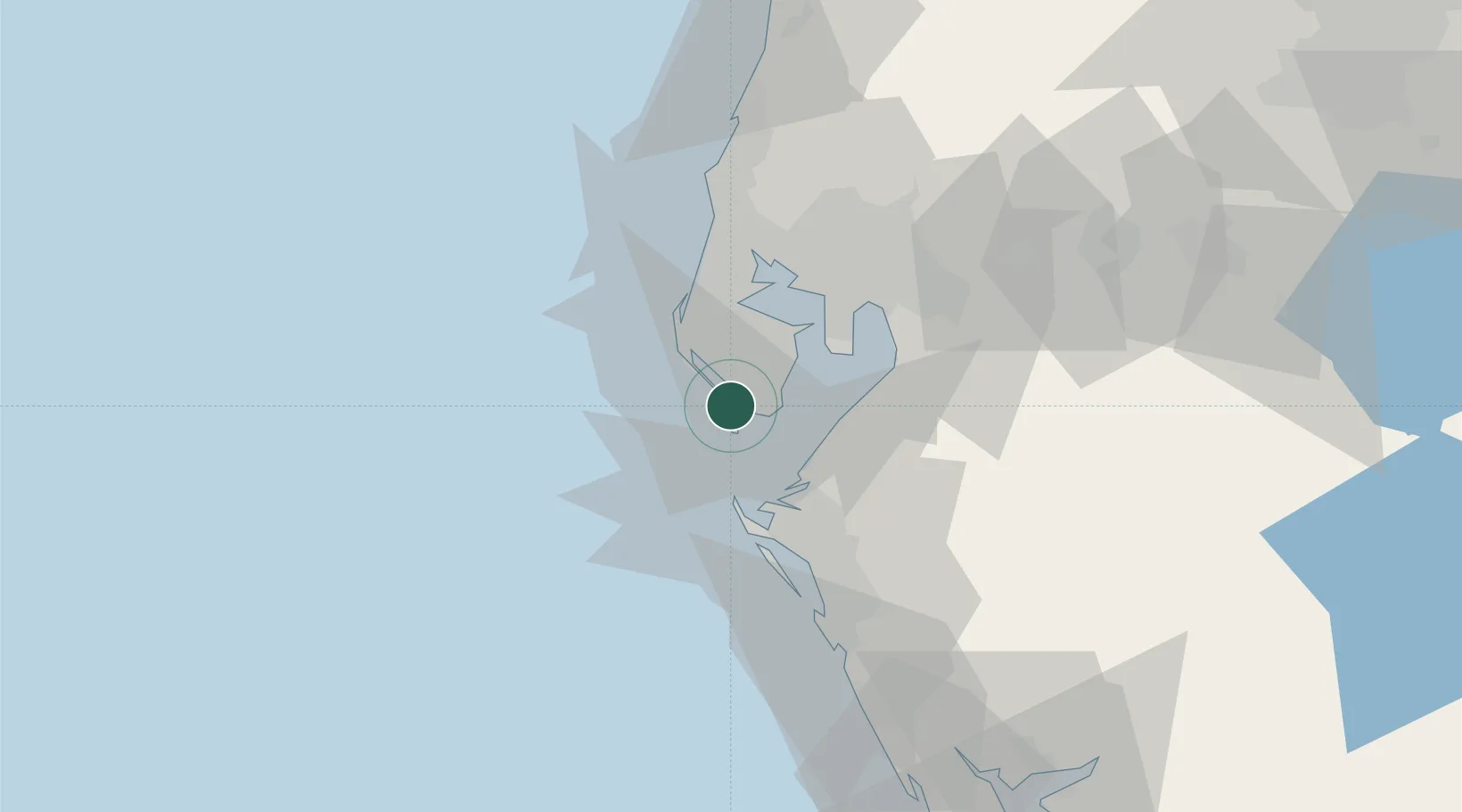
Saint Pete Beach
27.7167°, -82.7333°
9,346
Population
2
Transport functions
Transport Functions
Port
Road
Hub Profile
Place type
Populated place
Region
Florida
Population
9,346
Time zone
America/New_York
Elevation
0 m
Location
Nearby Logistics Neighbours
Cities
- 1Saint Petersburg7 km
- 2Madeira Beach9 km
- 3Pinellas Park13 km
- 4Seminole14 km
- 5Port Manatee19 km
Ports
- 1Sankt-Peterburg13 km
- 2Port Manatee19 km
- 3Tampa36 km
- 4Tarpon Springs48 km
- 5Boca Grande120 km
Airports
Trade Zones
- 1FTZ No. 169 Manatee County32 km
- 2FTZ No. 079 Tampa39 km
- 3FTZ No. 193 Pinellas County42 km
- 4FTZ No. 215 Sebring122 km
- 5FTZ No. 042 Orlando147 km
DatabookThe Record of Consolidated Knowledge
United States beyond logistics?