UN/LOCODE hub · United States
USPME
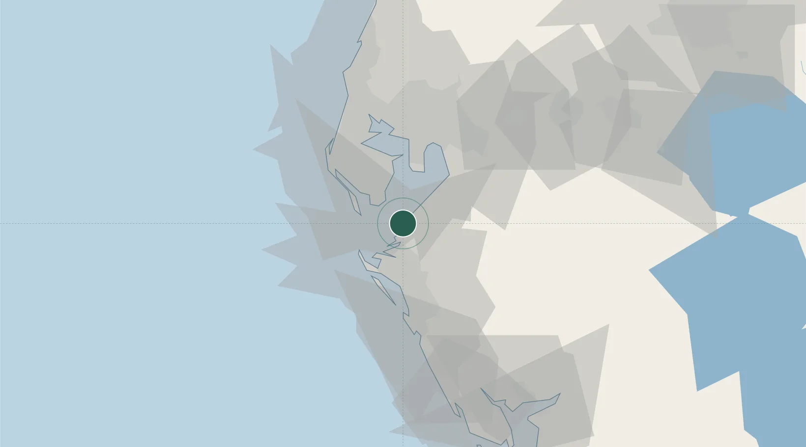
Port Manatee
27.6297°, -82.5631°
2
Transport functions
1
Container terminals
Transport Functions
Port
Road
Hub Profile
Region
FL
Logistics facilities
1
Container terminals
1
Location
Nearby Logistics Neighbours
Cities
- 1Memphis11 km
- 2Saint Petersburg19 km
- 3Saint Pete Beach19 km
- 4Bradenton Beach23 km
- 5Longboat Key27 km
Ports
- 1Sankt-Peterburg16 km
- 2Tampa34 km
- 3Tarpon Springs61 km
- 4Boca Grande106 km
- 5Fort Pierce222 km
Airports
Trade Zones
- 1FTZ No. 169 Manatee County27 km
- 2FTZ No. 079 Tampa38 km
- 3FTZ No. 193 Pinellas County56 km
- 4FTZ No. 215 Sebring104 km
- 5FTZ No. 213 Fort Myers130 km
DatabookThe Record of Consolidated Knowledge
United States beyond logistics?