Channel & Berth Profile
Pilotage, Tugs & Services
Pilotage compulsoryYES
Pilotage availableYES
Potable waterYES
Facilities & Capabilities
Container—
Ro-Ro—
Liquid bulk—
Dry bulk—
Oil terminal—
Break bulk—
Dry dock—
Repairs—
BunkeringYES
Rail link—
Dangerous cargo—
ISPS security—
Harbour Specifications
Harbour size
Very Small
Harbour type
Coastal (Natural)
Shelter
Excellent
Water body
North Pacific Ocean
Tidal range
1.2 m
Overhead limit
Yes
Pilotage
Yes
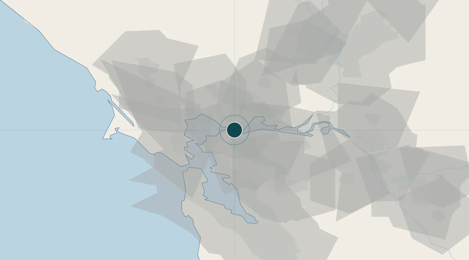
Location
Nearby Logistics Neighbours
Ports
- 1Benicia3 km
- 2Crockett3 km
- 3Martinez5 km
- 4South Vallejo7 km
- 5Oleum7 km
Cities
- 1Benicia3 km
- 2Oleum5 km
- 3Rodeo7 km
- 4Springtown9 km
- 5Hercules9 km
Airports
Trade Zones
- 1FTZ No. 056 Oakland28 km
- 2FTZ No. 003 San Francisco34 km
- 3FTZ No. 231 Stockton76 km
- 4FTZ No. 143 West Sacramento83 km
- 5FTZ No. 018 San Jose83 km
DatabookThe Record of Consolidated Knowledge
United States beyond logistics?