Channel & Berth Profile
Pilotage, Tugs & Services
Pilotage compulsoryYES
Pilotage availableYES
Pilotage advisableYES
Tug assistanceYES
Potable waterYES
Diesel bunkersYES
MedicalYES
Facilities & Capabilities
Container—
Ro-Ro—
Liquid bulk—
Dry bulk—
Oil terminal—
Break bulk—
Dry dock—
RepairsNO
BunkeringYES
Rail link—
Dangerous cargo—
ISPS security—
Harbour Specifications
Harbour size
Small
Harbour type
Coastal (Breakwater)
Shelter
Good
Water body
North Pacific Ocean
Pilotage
Yes
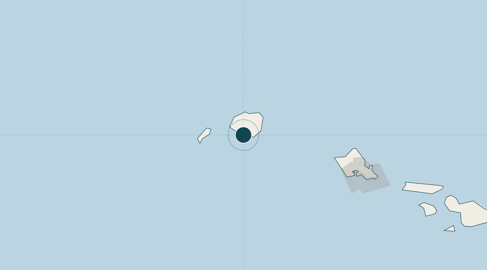
Location
Nearby Logistics Neighbours
Ports
- 1Nawiliwili Bay25 km
- 2Barber's Point165 km
- 3Honolulu190 km
- 4Kaunakakai279 km
- 5Lahaina323 km
Cities
- 1Eleele2 km
- 2Nawiliwili24 km
- 3Kapaa33 km
- 4Waianae154 km
- 5Waianae154 km
Airports
- 1Barking Sands Airport25 km
- 2Lihue Airport27 km
- 3Kalaeloa Airport170 km
- 4Hickam Air Force Base180 km
- 5Daniel K. Inouye International Airport183 km
Trade Zones
- 1FTZ No. 009 Honolulu190 km
- 2FTZ No. 248 Eureka3926 km
- 3FTZ No. 003 San Francisco3963 km
- 4FTZ No. 056 Oakland3974 km
- 5FTZ No. 232 Kodiak3984 km
DatabookThe Record of Consolidated Knowledge
United States beyond logistics?