Medium airport · United States
Barking Sands AirportPHBK
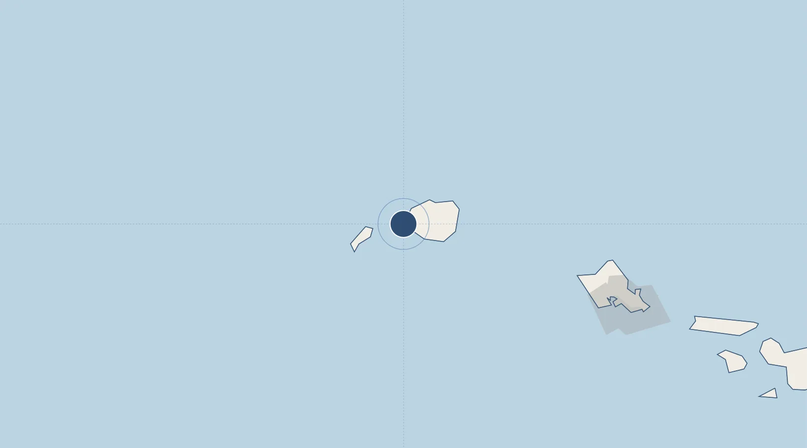
22.0228°, -159.7850°
6,002 ft
Longest runway
1
Runways
23 ft
Elevation
Runway & Layout

Radio Frequencies
TWR
126.2 MHz
CNTR
126.5 MHz
HONOLULU CNTR
OPS
32.285 MHz
RANGE OUTRIDER
UNIC
122.8 MHz
UNICOM
Navaids
NBS TACAN Barking Sands 112.60 MHz
SOK VORTAC South Kauai 115.40 MHz
Runways · 1
| Runway | Dimensions | Surface | True heading | Lit |
|---|---|---|---|---|
| 16/34 | 6,002 × 150ft | Asphalt | 170° | ✓ |
Airport Specifications
IATA code
BKH
ICAO code
PHBK
Airport class
Medium airport
Scheduled service
No
Runway surface
Asphalt
Served city
Kekaha
Location
Nearby Logistics Neighbours
Airports
- 1Lihue Airport47 km
- 2Kalaeloa Airport194 km
- 3Hickam Air Force Base205 km
- 4Daniel K. Inouye International Airport208 km
- 5Kaneohe Bay MCAS (Marion E. Carl Field) Airport218 km
Cities
- 1Eleele24 km
- 2Port Allen25 km
- 3Nawiliwili45 km
- 4Kapaa49 km
- 5Waianae178 km
Ports
- 1Port Allen25 km
- 2Nawiliwili Bay46 km
- 3Barber's Point189 km
- 4Honolulu214 km
- 5Kaunakakai303 km
Trade Zones
- 1FTZ No. 009 Honolulu214 km
- 2FTZ No. 248 Eureka3933 km
- 3FTZ No. 003 San Francisco3973 km
- 4FTZ No. 232 Kodiak3973 km
- 5FTZ No. 056 Oakland3983 km
DatabookThe Record of Consolidated Knowledge
United States beyond logistics?