Large airport · United States

Lihue AirportPHLI

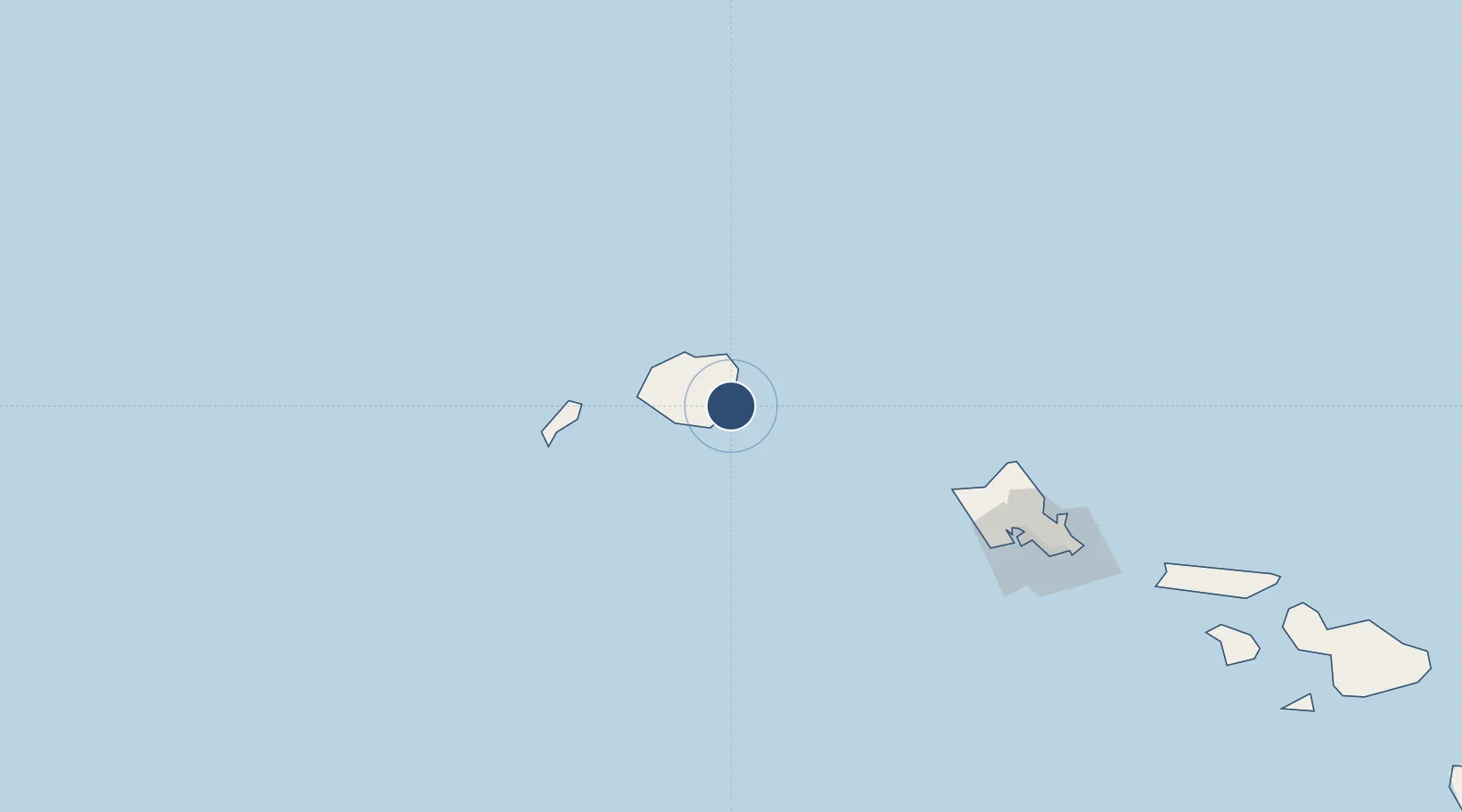
21.9744°, -159.3371°
6,500 ft
Longest runway
2
Runways
153 ft
Elevation

Runway & Layout

Lihue Airport runway & taxiway layout
Runway & taxiway layout — OpenStreetMap (ODbL) / OurAirports

Radio Frequencies

ATIS
127.2 MHz
TWR
118.9 MHz
GND
121.9 MHz
CTAF
118.9 MHz
CNTR
126.5 MHz
HONOLULU CNTR
RCO
122.6 MHz
HONOLULU
OurAirports

Navaids

LIH VORTAC Lihue 113.50 MHz
OurAirports

Runways · 2

RunwayDimensions SurfaceTrue headingLit
03/21 6,500 × 150ft Asphalt 045°
17/35 6,500 × 150ft Asphalt 180°
OurAirports

Airport Specifications

IATA code
LIH
OurAirports
ICAO code
PHLI
OurAirports
Airport class
Large airport
OurAirports
Scheduled service
Yes
OurAirports
Runway surface
Asphalt
OurAirports
Served city
Lihue, Kauai
OurAirports

Location

Location of PHLI
Natural Earth 10m (public domain) · Hawaii · PHLI · 21.97, -159.34GoogleOSMYandex

Nearby Logistics Neighbours

Airports
  1. 1Barking Sands Airport47 km
  2. 2Kalaeloa Airport151 km
  3. 3Hickam Air Force Base160 km
  4. 4Daniel K. Inouye International Airport163 km
  5. 5Kaneohe Bay MCAS (Marion E. Carl Field) Airport172 km
Nearest neighbours — logibook spatial index (haversine) over the source coordinates
Cities
  1. 1Nawiliwili3 km
  2. 2Kapaa11 km
  3. 3Eleele26 km
  4. 4Port Allen27 km
  5. 5Waianae134 km
Nearest neighbours — logibook spatial index (haversine) over the source coordinates
Ports
  1. 1Nawiliwili Bay3 km
  2. 2Port Allen27 km
  3. 3Barber's Point146 km
  4. 4Honolulu170 km
  5. 5Kaunakakai258 km
Nearest neighbours — logibook spatial index (haversine) over the source coordinates
Trade Zones
  1. 1FTZ No. 009 Honolulu170 km
  2. 2FTZ No. 248 Eureka3901 km
  3. 3FTZ No. 003 San Francisco3938 km
  4. 4FTZ No. 056 Oakland3948 km
  5. 5FTZ No. 232 Kodiak3974 km
Nearest neighbours — logibook spatial index (haversine) over the source coordinates
DatabookThe Record of Consolidated Knowledge
United States beyond logistics?
Browse databook

All Sources

AirportsOurAirports
Public domain
Portsthe NGA World Port Index
Public domain (US gov)
LocationsUN/LOCODE
UN/LOCODE — free
Trade Zonesthe World Bank SEZ database
CC BY 4.0
Trade ZonesOpen Zone Map
CC BY
InfrastructureOpenStreetMap
ODbL 1.0
← United States airports