Transport Functions
Port
Road
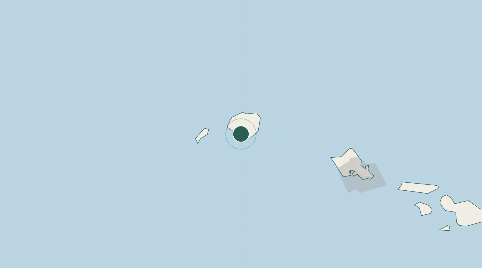
Hub Profile
Place type
Populated place
Region
Hawaii
Population
2,390
Time zone
Pacific/Honolulu
Elevation
36 m
Location
Nearby Logistics Neighbours
Cities
- 1Port Allen2 km
- 2Nawiliwili24 km
- 3Kapaa32 km
- 4Waianae154 km
- 5Waianae154 km
Ports
- 1Port Allen2 km
- 2Nawiliwili Bay24 km
- 3Barber's Point166 km
- 4Honolulu190 km
- 5Kaunakakai280 km
Airports
- 1Barking Sands Airport24 km
- 2Lihue Airport26 km
- 3Kalaeloa Airport171 km
- 4Hickam Air Force Base181 km
- 5Daniel K. Inouye International Airport184 km
Trade Zones
- 1FTZ No. 009 Honolulu190 km
- 2FTZ No. 248 Eureka3925 km
- 3FTZ No. 003 San Francisco3962 km
- 4FTZ No. 056 Oakland3973 km
- 5FTZ No. 232 Kodiak3983 km
DatabookThe Record of Consolidated Knowledge
United States beyond logistics?