Transport Functions
Port
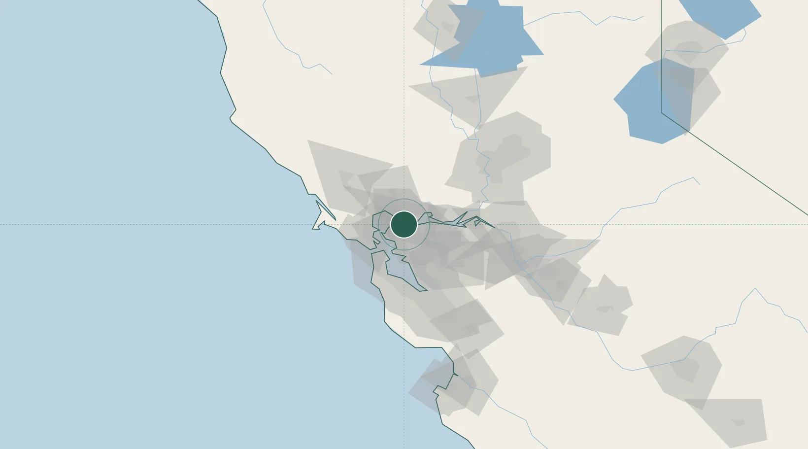
Hub Profile
Place type
Populated place
Region
California
Time zone
America/Los_Angeles
Elevation
62 m
Location
Nearby Logistics Neighbours
Cities
- 1Rodeo2 km
- 2Hercules5 km
- 3Pinole6 km
- 4Benicia8 km
- 5Springtown9 km
Ports
- 1Crockett2 km
- 2Port Costa5 km
- 3South Vallejo6 km
- 4Benicia8 km
- 5Mare Island8 km
Airports
Trade Zones
- 1FTZ No. 056 Oakland26 km
- 2FTZ No. 003 San Francisco30 km
- 3FTZ No. 231 Stockton80 km
- 4FTZ No. 018 San Jose83 km
- 5FTZ No. 143 West Sacramento87 km
DatabookThe Record of Consolidated Knowledge
United States beyond logistics?