UN/LOCODE hub · United States
USHL5
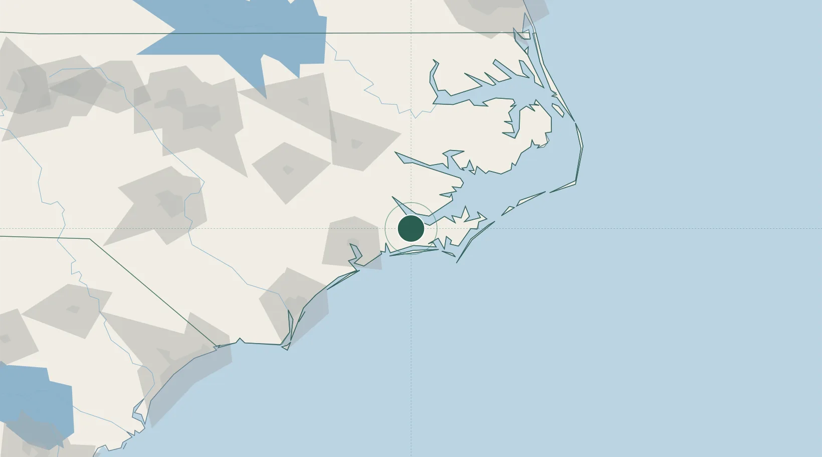
Havelock
34.8833°, -76.9167°
20,364
Population
4
Transport functions
Transport Functions
Port
Rail
Road
Multimodal
Hub Profile
Place type
Populated place
Region
North Carolina
Population
20,364
Time zone
America/New_York
Elevation
7 m
Location
Nearby Logistics Neighbours
Cities
- 1Holly Springs, Carteret9 km
- 2Newport12 km
- 3Cedar Point26 km
- 4Cape Carteret26 km
- 5Atlantic Beach26 km
Ports
- 1New Bern27 km
- 2Morehead City27 km
- 3Beaufort29 km
- 4Washington75 km
- 5Belhaven86 km
Airports
Trade Zones
- 1FTZ No. 214 Lenoir County96 km
- 2FTZ No. 093 Raleigh Durham213 km
- 3FTZ No. 020 Suffolk228 km
- 4FTZ No. 207 Richmond299 km
- 5FTZ No. 230 Piedmont Triad Area327 km
DatabookThe Record of Consolidated Knowledge
United States beyond logistics?