Channel & Berth Profile
Pilotage, Tugs & Services
Pilotage compulsoryNO
Pilotage availableNO
Potable waterYES
Diesel bunkersYES
MedicalYES
Facilities & Capabilities
Container—
Ro-Ro—
Liquid bulk—
Dry bulk—
Oil terminal—
Break bulk—
Dry dock—
RepairsNO
BunkeringYES
Rail linkYES
Dangerous cargo—
ISPS security—
Harbour Specifications
Harbour size
Very Small
Harbour type
River (Natural)
Shelter
Good
Water body
North Atlantic Ocean
Overhead limit
Yes
Pilotage
No
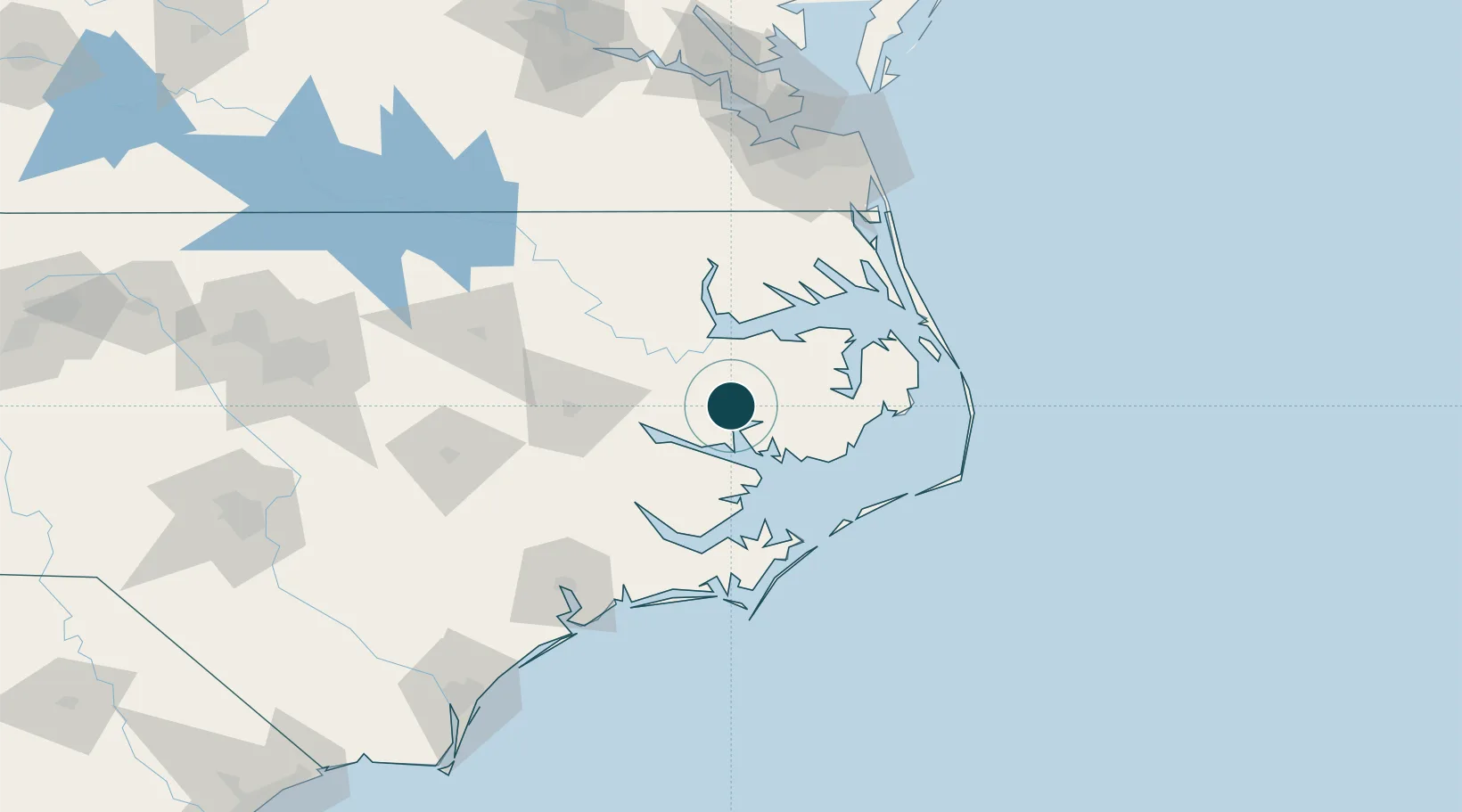
Location
Nearby Logistics Neighbours
Ports
- 1Plymouth30 km
- 2Washington40 km
- 3Columbia47 km
- 4Edenton48 km
- 5Hertford64 km
Cities
- 1Pantego6 km
- 2Bath24 km
- 3Roper28 km
- 4Fairfield37 km
- 5Merry Hill47 km
Airports
Trade Zones
- 1FTZ No. 214 Lenoir County124 km
- 2FTZ No. 020 Suffolk145 km
- 3FTZ No. 093 Raleigh Durham209 km
- 4FTZ No. 207 Richmond228 km
- 5FTZ No. 230 Piedmont Triad Area325 km
DatabookThe Record of Consolidated Knowledge
United States beyond logistics?