UN/LOCODE hub · United States
USHS5

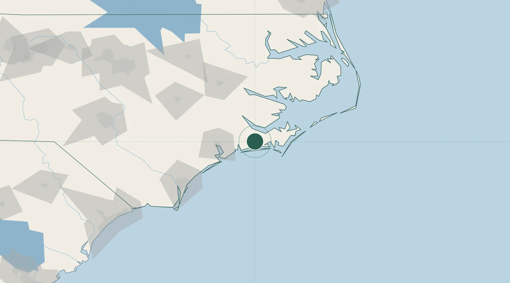
Holly Springs, Carteret

34.8000°, -76.9000°
2
Transport functions

Transport Functions

Road
Multimodal
UN/LOCODE

Hub Profile

Region
NC
GeoNames

Location

Location of USHS5
Natural Earth 10m (public domain) · NC · USHS5 · 34.80, -76.90GoogleOSMYandex

Nearby Logistics Neighbours

Cities
  1. 1Newport4 km
  2. 2Havelock9 km
  3. 3Atlantic Beach19 km
  4. 4Cedar Point20 km
  5. 5Cape Carteret20 km
Nearest neighbours — logibook spatial index (haversine) over the source coordinates
Ports
  1. 1Morehead City21 km
  2. 2Beaufort23 km
  3. 3New Bern36 km
  4. 4Washington85 km
  5. 5Belhaven94 km
Nearest neighbours — logibook spatial index (haversine) over the source coordinates
Airports
  1. 1Cherry Point MCAS / Cunningham Field/11 km
  2. 2Coastal Carolina Regional Airport33 km
  3. 3MCAS New River / McCutcheon Field50 km
  4. 4Albert J Ellis Airport65 km
  5. 5Kinston Regional Jetport At Stallings Field88 km
Nearest neighbours — logibook spatial index (haversine) over the source coordinates
Trade Zones
  1. 1FTZ No. 214 Lenoir County102 km
  2. 2FTZ No. 093 Raleigh Durham220 km
  3. 3FTZ No. 020 Suffolk237 km
  4. 4FTZ No. 207 Richmond309 km
  5. 5FTZ No. 230 Piedmont Triad Area332 km
Nearest neighbours — logibook spatial index (haversine) over the source coordinates
DatabookThe Record of Consolidated Knowledge
United States beyond logistics?
Browse databook

All Sources

LocationsUN/LOCODE
UN/LOCODE — free
Portsthe NGA World Port Index
Public domain (US gov)
AirportsOurAirports
Public domain
Trade Zonesthe World Bank SEZ database
CC BY 4.0
Trade ZonesOpen Zone Map
CC BY
← United States locations