UN/LOCODE hub · United States
USTBH
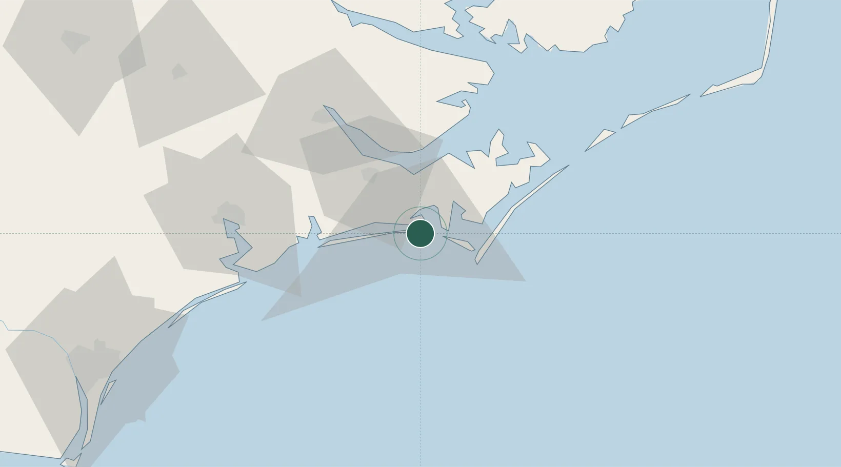
Atlantic Beach
34.7000°, -76.7333°
1,502
Population
2
Transport functions
Transport Functions
Port
Road
Hub Profile
Place type
Populated place
Region
North Carolina
Population
1,502
Time zone
America/New_York
Elevation
3 m
Location
Nearby Logistics Neighbours
Cities
- 1Morehead City4 km
- 2Newport15 km
- 3Holly Springs, Carteret19 km
- 4Smyrna21 km
- 5Havelock26 km
Ports
- 1Morehead City4 km
- 2Beaufort6 km
- 3New Bern53 km
- 4Washington99 km
- 5Belhaven103 km
Airports
Trade Zones
- 1FTZ No. 214 Lenoir County120 km
- 2FTZ No. 093 Raleigh Durham238 km
- 3FTZ No. 020 Suffolk247 km
- 4FTZ No. 207 Richmond323 km
- 5FTZ No. 230 Piedmont Triad Area351 km
DatabookThe Record of Consolidated Knowledge
United States beyond logistics?