Transport Functions
Port
Hub Profile
Place type
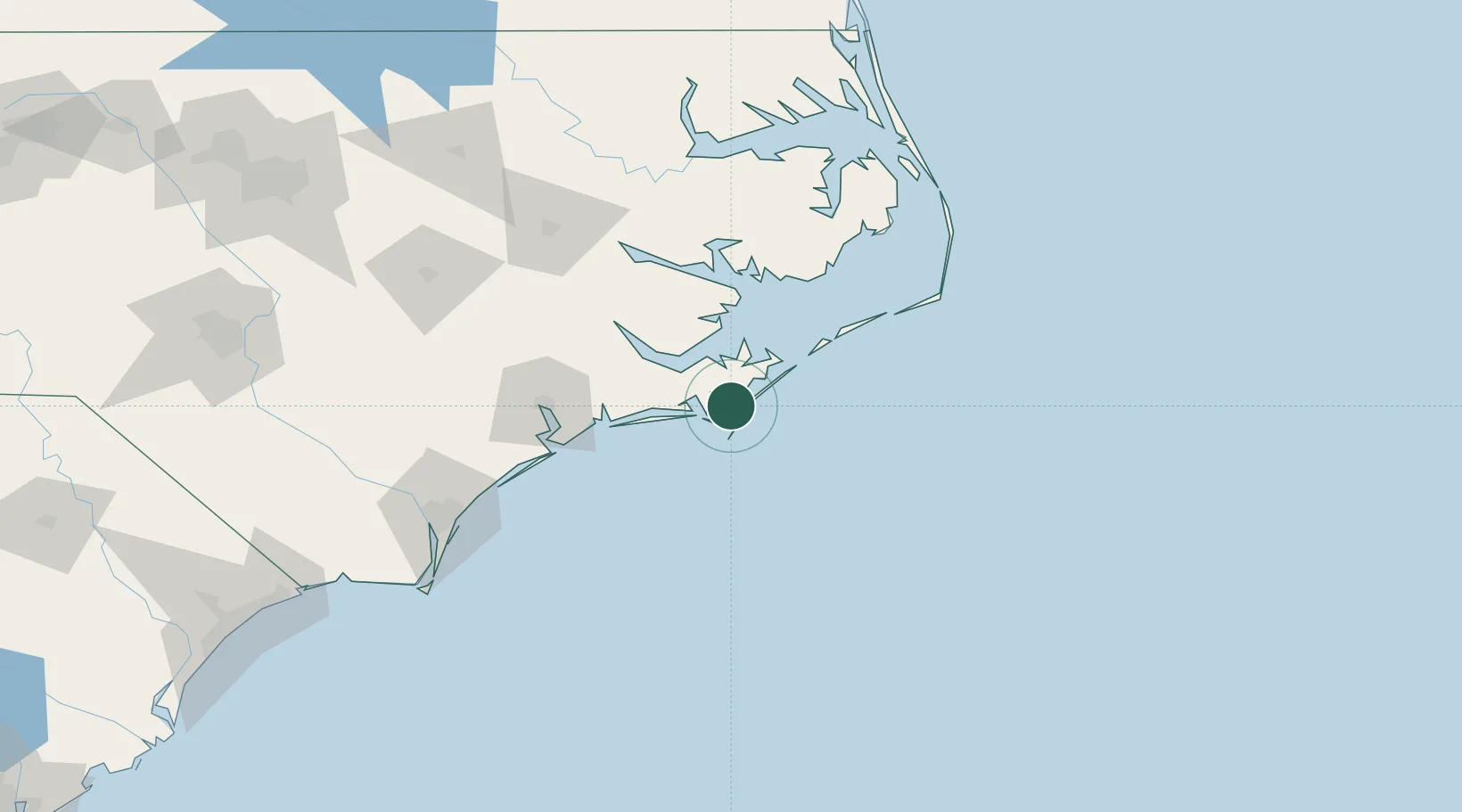
Populated place
Region
North Carolina
Time zone
America/New_York
Elevation
1 m
Location
Nearby Logistics Neighbours
Cities
- 1Morehead City17 km
- 2Atlantic Beach21 km
- 3Newport32 km
- 4Holly Springs, Carteret36 km
- 5Havelock39 km
Ports
- 1Beaufort14 km
- 2Morehead City17 km
- 3New Bern62 km
- 4Belhaven97 km
- 5Washington101 km
Airports
Trade Zones
- 1FTZ No. 214 Lenoir County136 km
- 2FTZ No. 020 Suffolk241 km
- 3FTZ No. 093 Raleigh Durham252 km
- 4FTZ No. 207 Richmond323 km
- 5FTZ No. 230 Piedmont Triad Area366 km
DatabookThe Record of Consolidated Knowledge
United States beyond logistics?