Transport Functions
Rail
Road
Multimodal
Hub Profile
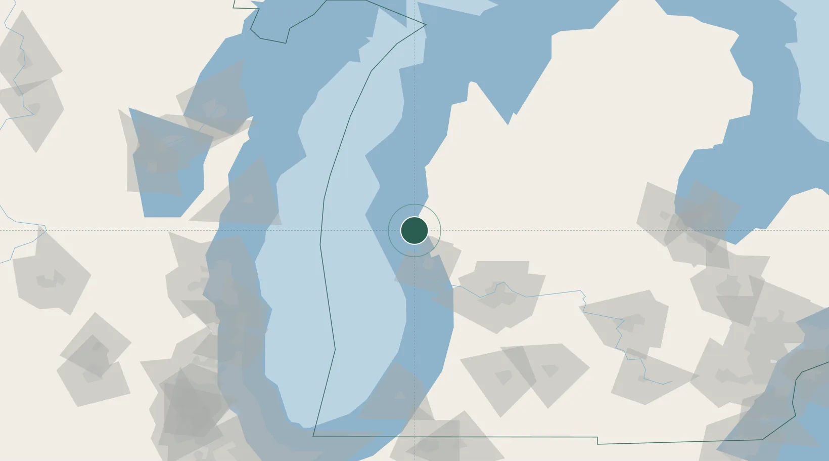
Place type
Populated place
Region
Michigan
Population
424
Time zone
America/Detroit
Elevation
210 m
Location
Nearby Logistics Neighbours
Ports
- 1White Lake13 km
- 2Muskegon30 km
- 3Grand Haven49 km
- 4Ludington51 km
- 5Holland82 km
Airports
Trade Zones
- 1FTZ No. 189 Kent Ottawa/Muskegon Counties30 km
- 2FTZ No. 019 Omaha40 km
- 3FTZ No. 101 Clinton County144 km
- 4FTZ No. 041 Milwaukee151 km
- 5FTZ No. 043 Battle Creek156 km
DatabookThe Record of Consolidated Knowledge
United States beyond logistics?