UN/LOCODE hub · United States
USGAQ

Galt

38.2500°, -121.3000°
25,303
Population
3
Transport functions

Transport Functions

Rail
Road
Multimodal
UN/LOCODE

Hub Profile

Place type
Populated place
GeoNames
Region
California
GeoNames
Population
25,303
GeoNames
Time zone
America/Los_Angeles
GeoNames
Elevation
16 m
GeoNames

Location

Location of USGAQ
Natural Earth 10m (public domain) · California · USGAQ · 38.25, -121.30GoogleOSMYandex

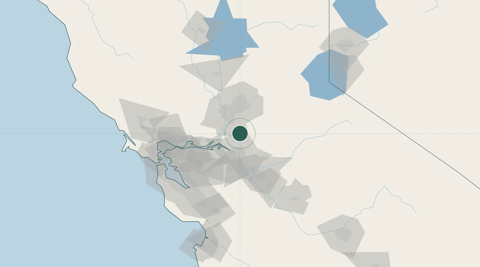
Nearby Logistics Neighbours

Cities
  1. 1Acampo9 km
  2. 2Thornton11 km
  3. 3Victor16 km
  4. 4Walnut Grove19 km
  5. 5East Stockton32 km
Nearest neighbours — logibook spatial index (haversine) over the source coordinates
Ports
  1. 1Walnut Grove19 km
  2. 2Courtland25 km
  3. 3Isleton28 km
  4. 4Stockton33 km
  5. 5Rio Vista37 km
Nearest neighbours — logibook spatial index (haversine) over the source coordinates
Airports
  1. 1Sacramento Executive Airport34 km
  2. 2Sacramento Mather Airport34 km
  3. 3Stockton Metropolitan Airport40 km
  4. 4McClellan Airfield47 km
  5. 5Travis Air Force Base55 km
Nearest neighbours — logibook spatial index (haversine) over the source coordinates
Trade Zones
  1. 1FTZ No. 231 Stockton33 km
  2. 2FTZ No. 143 West Sacramento42 km
  3. 3FTZ No. 056 Oakland99 km
  4. 4FTZ No. 003 San Francisco108 km
  5. 5FTZ No. 018 San Jose114 km
Nearest neighbours — logibook spatial index (haversine) over the source coordinates
DatabookThe Record of Consolidated Knowledge
United States beyond logistics?
Browse databook

All Sources

LocationsUN/LOCODE
UN/LOCODE — free
LocationsGeoNames
CC BY 4.0
Portsthe NGA World Port Index
Public domain (US gov)
AirportsOurAirports
Public domain
Trade Zonesthe World Bank SEZ database
CC BY 4.0
Trade ZonesOpen Zone Map
CC BY
← United States locations