Transport Functions
Port
Rail
Road
Hub Profile
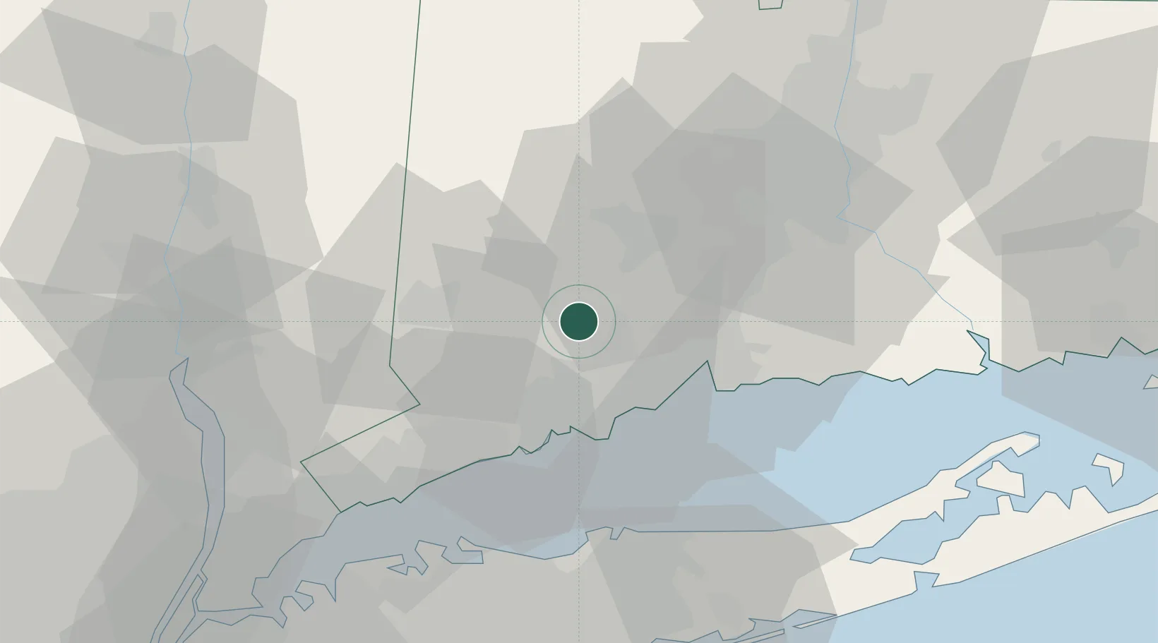
Place type
Populated place
Region
Connecticut
Time zone
America/New_York
Elevation
56 m
Location
Nearby Logistics Neighbours
Cities
- 1Ansonia8 km
- 2Oakville23 km
- 3Georgetown, Fairfield27 km
- 4Bethlehem28 km
- 5Wolcott29 km
Ports
- 1Bridgeport24 km
- 2New Haven27 km
- 3Southport30 km
- 4Norwalk38 km
- 5Port Jefferson49 km
Airports
Trade Zones
- 1FTZ No. 162 New Haven22 km
- 2FTZ No. 076 Bridgeport23 km
- 3FTZ No. 052 Suffolk County52 km
- 4FTZ No. 071 Windsor Locks75 km
- 5FTZ No. 208 New London89 km
DatabookThe Record of Consolidated Knowledge
United States beyond logistics?