Transport Functions
Road
Multimodal
Hub Profile
Place type
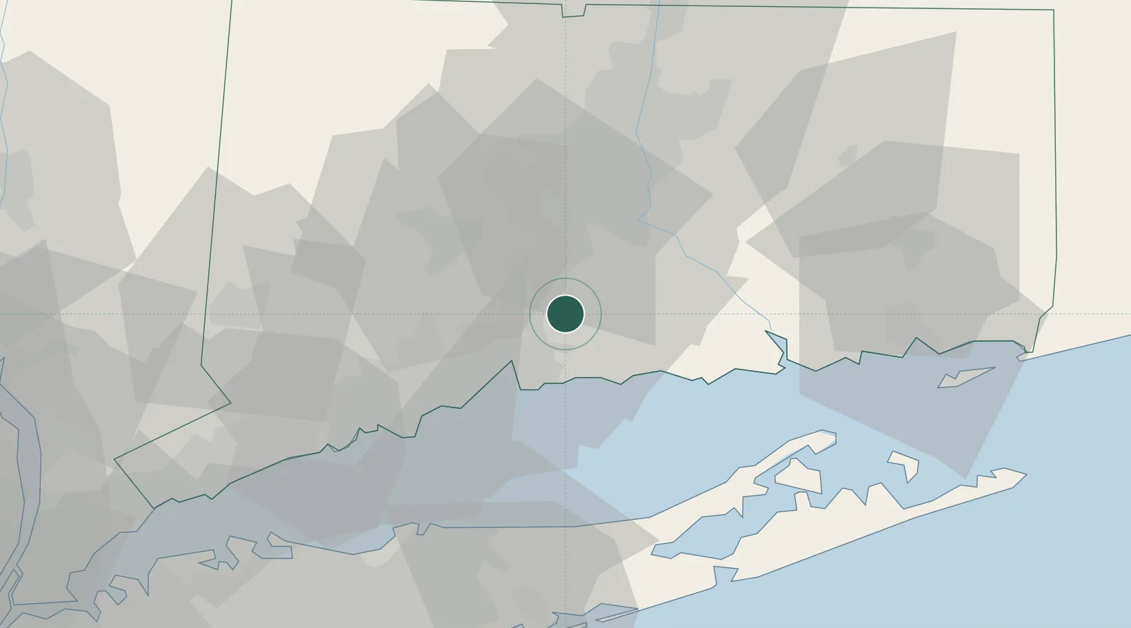
Populated place
Region
Connecticut
Time zone
America/New_York
Elevation
55 m
Location
Nearby Logistics Neighbours
Cities
- 1Middlefield15 km
- 2Guilford16 km
- 3Ansonia24 km
- 4Cromwell26 km
- 5Haddam26 km
Ports
- 1New Haven21 km
- 2Essex35 km
- 3Bridgeport41 km
- 4Greenport49 km
- 5Southport50 km
Airports
Trade Zones
- 1FTZ No. 162 New Haven15 km
- 2FTZ No. 076 Bridgeport41 km
- 3FTZ No. 208 New London59 km
- 4FTZ No. 071 Windsor Locks61 km
- 5FTZ No. 052 Suffolk County63 km
DatabookThe Record of Consolidated Knowledge
United States beyond logistics?