UN/LOCODE hub · United States
USGF3
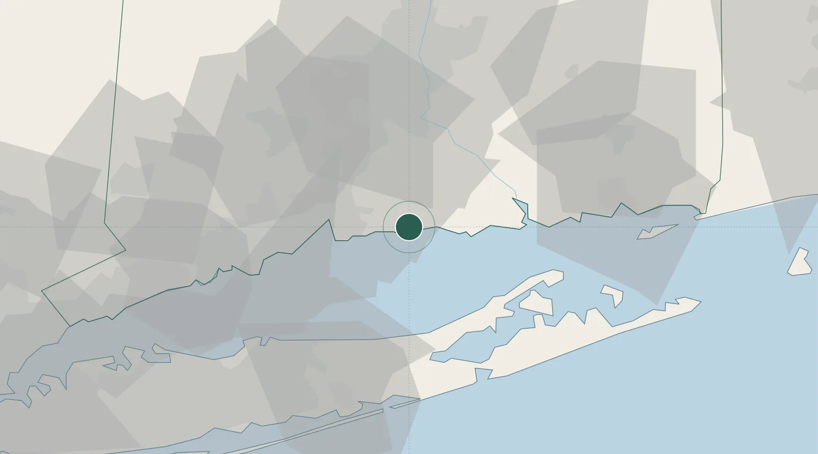
Guilford
41.2833°, -72.6833°
22,498
Population
2
Transport functions
Transport Functions
Rail
Road
Hub Profile
Place type
Populated place
Region
Connecticut
Population
22,498
Time zone
America/New_York
Elevation
14 m
Location
Nearby Logistics Neighbours
Cities
- 1Northford16 km
- 2Haddam26 km
- 3Middlefield26 km
- 4Moodus31 km
- 5Greenport33 km
Ports
- 1New Haven20 km
- 2Essex26 km
- 3Greenport33 km
- 4Bridgeport44 km
- 5Port Jefferson50 km
Airports
Trade Zones
- 1FTZ No. 162 New Haven21 km
- 2FTZ No. 076 Bridgeport44 km
- 3FTZ No. 208 New London50 km
- 4FTZ No. 052 Suffolk County59 km
- 5FTZ No. 071 Windsor Locks72 km
DatabookThe Record of Consolidated Knowledge
United States beyond logistics?