UN/LOCODE hub · United States
USAQZ
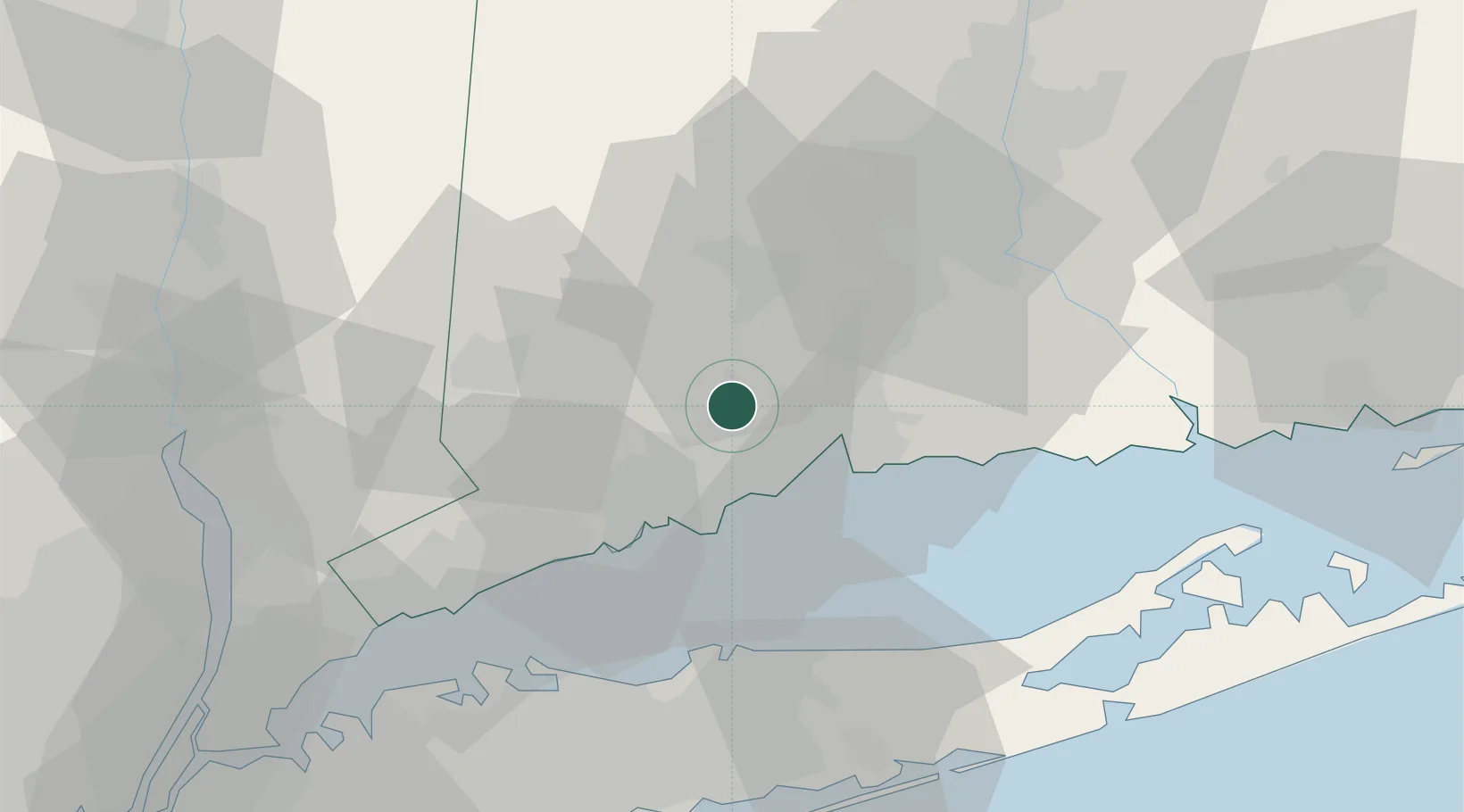
Ansonia
41.3500°, -73.0833°
18,854
Population
2
Transport functions
Transport Functions
Rail
Road
Hub Profile
Place type
Populated place
Region
Connecticut
Population
18,854
Time zone
America/New_York
Elevation
26 m
Location
Nearby Logistics Neighbours
Cities
- 1Riverside8 km
- 2Northford24 km
- 3Oakville26 km
- 4Wolcott29 km
- 5Georgetown, Fairfield31 km
Ports
- 1New Haven19 km
- 2Bridgeport22 km
- 3Southport29 km
- 4Norwalk39 km
- 5Port Jefferson45 km
Airports
Trade Zones
- 1FTZ No. 162 New Haven14 km
- 2FTZ No. 076 Bridgeport21 km
- 3FTZ No. 052 Suffolk County49 km
- 4FTZ No. 071 Windsor Locks75 km
- 5FTZ No. 208 New London82 km
DatabookThe Record of Consolidated Knowledge
United States beyond logistics?