Medium airport · United States

Long Island MacArthur AirportKISP
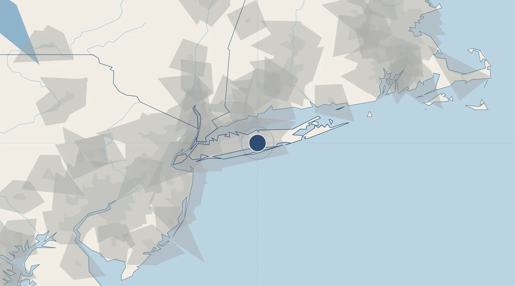
40.7963°, -73.1017°
7,006 ft
Longest runway
3
Runways
99 ft
Elevation

Runway & Layout

Long Island MacArthur Airport runway & taxiway layout
Runway & taxiway layout — OpenStreetMap (ODbL) / OurAirports

Radio Frequencies

ATIS
120.725 MHz
TWR
119.3 MHz
GND
135.3 MHz
CLD
121.85 MHz
CLNC DEL
CTAF
119.3 MHz
A/D
118 MHz
NEW YORK APP/DEP
OPS
45 MHz
GUARD OPS
RDO
122.6 MHz
NEW YORK RDO
UNIC
122.95 MHz
UNICOM
OurAirports

Navaids

IS NDB Lokks 366 kHz
OurAirports

Runways · 3

RunwayDimensions SurfaceTrue headingLit
06/24 7,006 × 150ft Asphalt 045°
15R/33L 5,186 × 150ft Asphalt 135°
15L/33R 3,175 × 75ft Asphalt 135°
OurAirports

Airport Specifications

IATA code
ISP
OurAirports
ICAO code
KISP
OurAirports
Airport class
Medium airport
OurAirports
Scheduled service
Yes
OurAirports
Runway surface
Asphalt
OurAirports
Served city
Islip
OurAirports

Location

Location of KISP
Natural Earth 10m (public domain) · New York · KISP · 40.80, -73.10GoogleOSMYandex

Nearby Logistics Neighbours

Airports
  1. 1Republic Airport27 km
  2. 2Igor I Sikorsky Memorial Airport41 km
  3. 3Tweed New Haven Airport55 km
  4. 4Westchester County Airport59 km
  5. 5John F. Kennedy International Airport60 km
Nearest neighbours — logibook spatial index (haversine) over the source coordinates
Cities
  1. 1Holbrook3 km
  2. 2Islandia7 km
  3. 3West Sayville7 km
  4. 4West Sayville7 km
  5. 5Farmingville8 km
Nearest neighbours — logibook spatial index (haversine) over the source coordinates
Ports
  1. 1Patchogue9 km
  2. 2Port Jefferson17 km
  3. 3Southport41 km
  4. 4Bridgeport42 km
  5. 5Norwalk43 km
Nearest neighbours — logibook spatial index (haversine) over the source coordinates
Trade Zones
  1. 1FTZ No. 052 Suffolk County16 km
  2. 2FTZ No. 076 Bridgeport43 km
  3. 3FTZ No. 162 New Haven59 km
  4. 4FTZ No. 001 New York City77 km
  5. 5FTZ No. 049 Newark Elizabeth91 km
Nearest neighbours — logibook spatial index (haversine) over the source coordinates
DatabookThe Record of Consolidated Knowledge
United States beyond logistics?
Browse databook

All Sources

AirportsOurAirports
Public domain
Portsthe NGA World Port Index
Public domain (US gov)
LocationsUN/LOCODE
UN/LOCODE — free
Trade Zonesthe World Bank SEZ database
CC BY 4.0
Trade ZonesOpen Zone Map
CC BY
InfrastructureOpenStreetMap
ODbL 1.0
← United States airports