Transport Functions
Road
Multimodal
Hub Profile
Place type
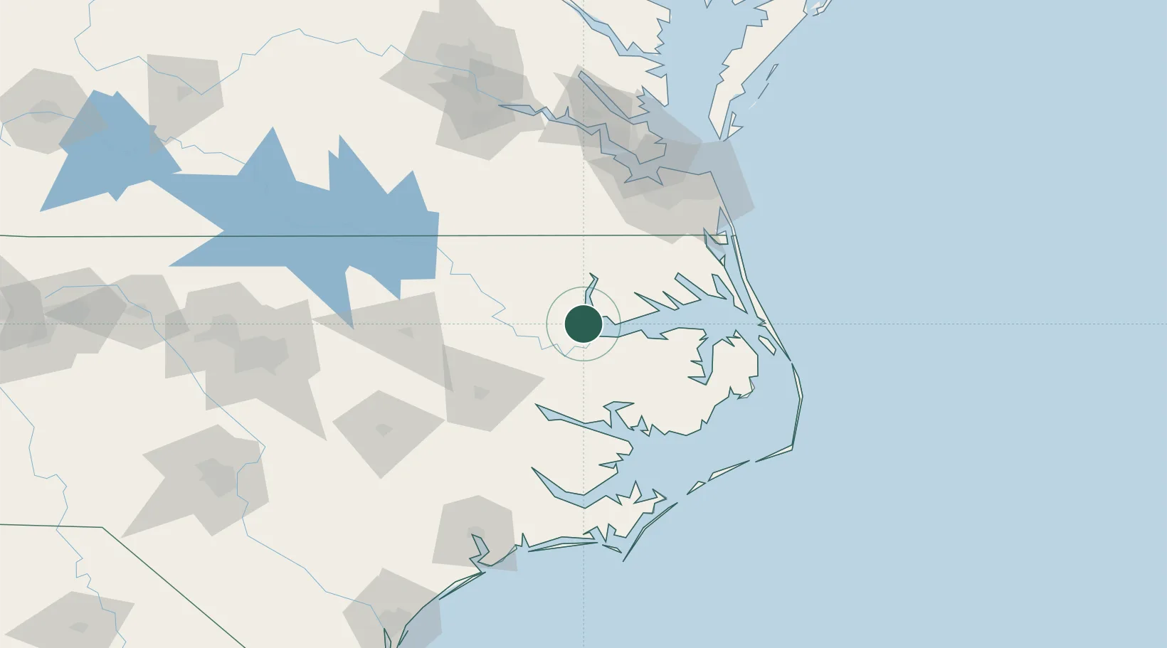
Populated place
Region
North Carolina
Time zone
America/New_York
Elevation
11 m
Location
Nearby Logistics Neighbours
Airports
Trade Zones
- 1FTZ No. 020 Suffolk102 km
- 2FTZ No. 214 Lenoir County135 km
- 3FTZ No. 207 Richmond182 km
- 4FTZ No. 093 Raleigh Durham193 km
- 5FTZ No. 185 Culpeper County300 km
DatabookThe Record of Consolidated Knowledge
United States beyond logistics?