Medium airport · United States

Elizabeth City Regional Airport & Coast Guard Air StationKECG
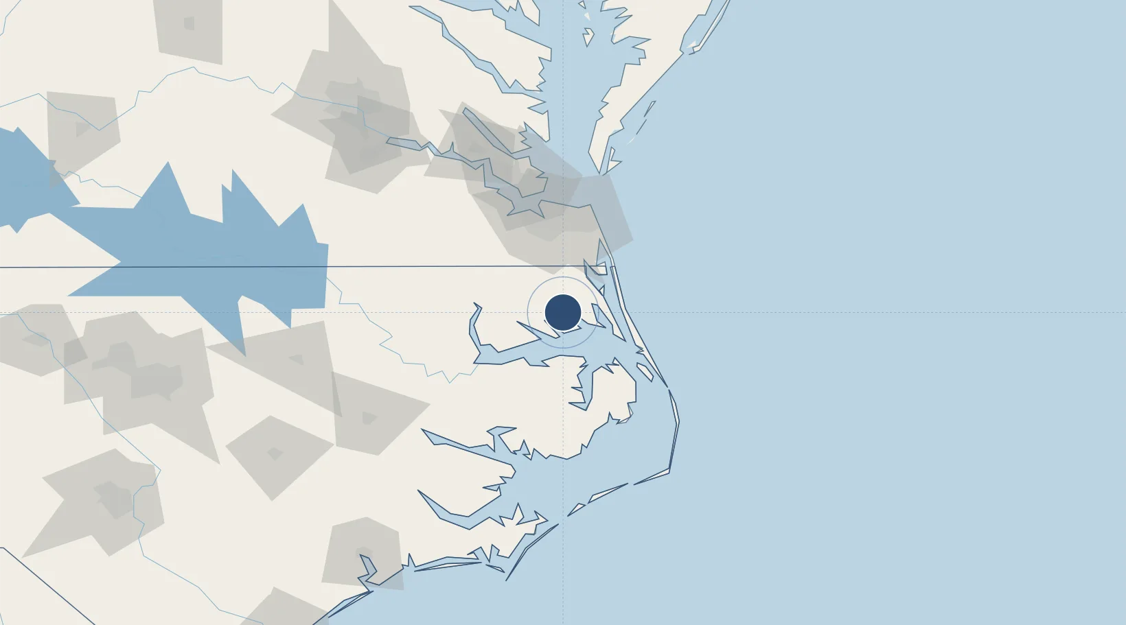
36.2606°, -76.1746°
7,219 ft
Longest runway
1
Runways
11 ft
Elevation

Runway & Layout

Elizabeth City Regional Airport & Coast Guard Air Station runway & taxiway layout
Runway & taxiway layout — OpenStreetMap (ODbL) / OurAirports

Radio Frequencies

ASOS
118.525 MHz
TWR
120.5 MHz
GND
121.9 MHz
CTAF
120.5 MHz
A/D
119.55 MHz
NORFOLK APP/DEP
A/G
34.5 MHz
AIR
UNIC
122.95 MHz
UNICOM
OurAirports

Navaids

ECG VOR-DME Elizabeth City 112.50 MHz
LLW NDB Woodville 254 kHz
OurAirports

Runways · 1

RunwayDimensions SurfaceTrue headingLit
10/28 7,219 × 150ft Concrete 092°
OurAirports

Airport Specifications

IATA code
ECG
OurAirports
ICAO code
KECG
OurAirports
Airport class
Medium airport
OurAirports
Scheduled service
No
OurAirports
Runway surface
Concrete
OurAirports
Served city
Elizabeth City
OurAirports

Location

Location of KECG
Natural Earth 10m (public domain) · North Carolina · KECG · 36.26, -76.17GoogleOSMYandex

Nearby Logistics Neighbours

Airports
  1. 1Oceana Naval Air Station64 km
  2. 2Norfolk International Airport71 km
  3. 3Norfolk Naval Station (Chambers Field)76 km
  4. 4Langley Air Force Base93 km
  5. 5Newport News Williamsburg International Airport101 km
Nearest neighbours — logibook spatial index (haversine) over the source coordinates
Cities
  1. 1South Mills23 km
  2. 2Winton26 km
  3. 3Jarvisburg28 km
  4. 4Powells Point32 km
  5. 5Corolla34 km
Nearest neighbours — logibook spatial index (haversine) over the source coordinates
Ports
  1. 1Elizabeth City6 km
  2. 2Hertford28 km
  3. 3Columbia39 km
  4. 4Edenton46 km
  5. 5Portsmouth63 km
Nearest neighbours — logibook spatial index (haversine) over the source coordinates
Trade Zones
  1. 1FTZ No. 020 Suffolk82 km
  2. 2FTZ No. 207 Richmond187 km
  3. 3FTZ No. 214 Lenoir County194 km
  4. 4FTZ No. 093 Raleigh Durham249 km
  5. 5FTZ No. 063 PrInce Georges County299 km
Nearest neighbours — logibook spatial index (haversine) over the source coordinates
DatabookThe Record of Consolidated Knowledge
United States beyond logistics?
Browse databook

All Sources

AirportsOurAirports
Public domain
Portsthe NGA World Port Index
Public domain (US gov)
LocationsUN/LOCODE
UN/LOCODE — free
Trade Zonesthe World Bank SEZ database
CC BY 4.0
Trade ZonesOpen Zone Map
CC BY
InfrastructureOpenStreetMap
ODbL 1.0
← United States airports