UN/LOCODE hub · United States
USAA9
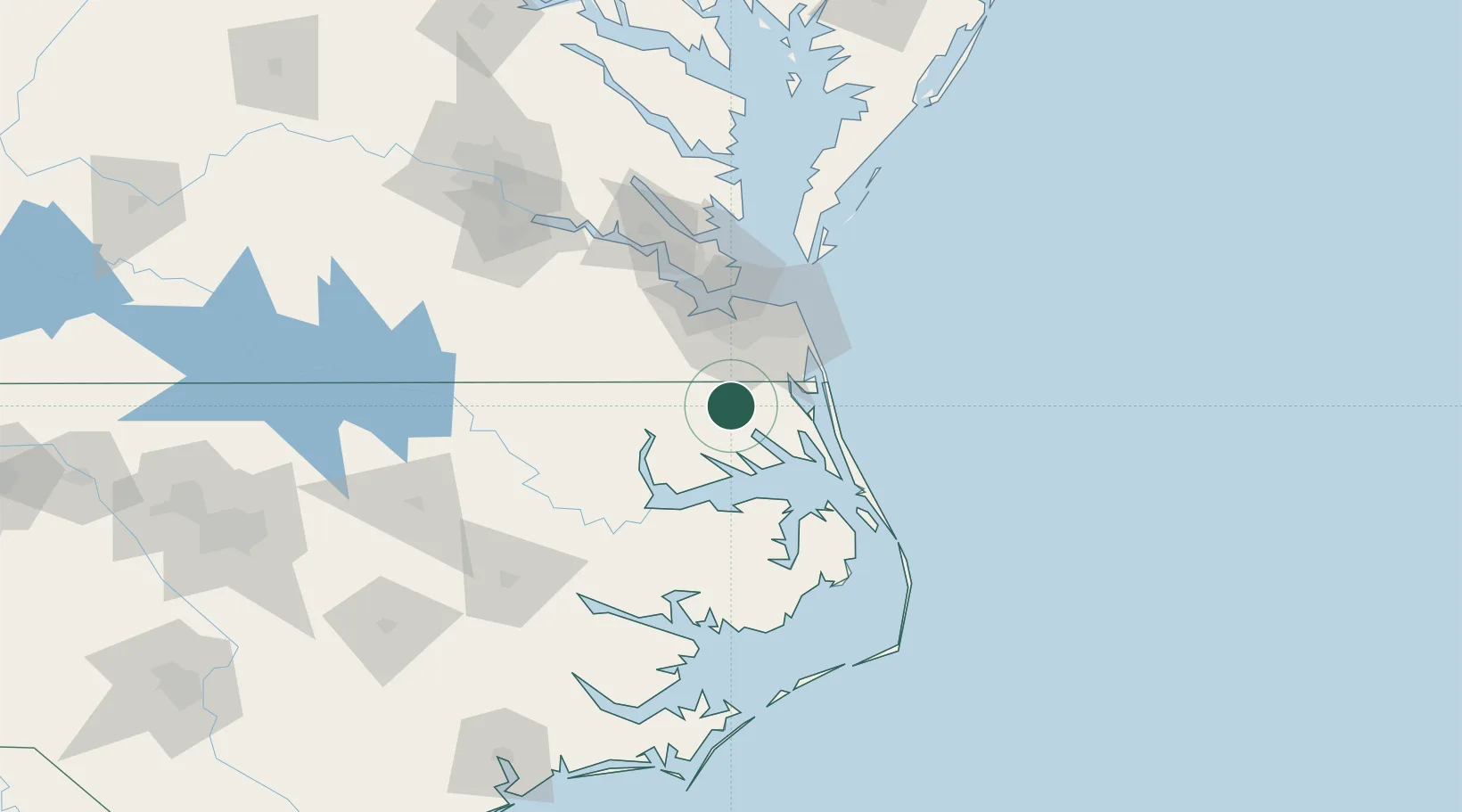
South Mills
36.4333°, -76.3167°
454
Population
2
Transport functions
Transport Functions
Port
Road
Hub Profile
Place type
Populated place
Region
North Carolina
Population
454
Time zone
America/New_York
Elevation
4 m
Location
Nearby Logistics Neighbours
Cities
- 1Tyner33 km
- 2Winton35 km
- 3Chesapeake39 km
- 4Palmyra43 km
- 5Corolla44 km
Ports
- 1Elizabeth City17 km
- 2Hertford31 km
- 3Portsmouth43 km
- 4Norfolk46 km
- 5Edenton50 km
Airports
Trade Zones
- 1FTZ No. 020 Suffolk59 km
- 2FTZ No. 207 Richmond164 km
- 3FTZ No. 214 Lenoir County196 km
- 4FTZ No. 093 Raleigh Durham240 km
- 5FTZ No. 063 PrInce Georges County277 km
DatabookThe Record of Consolidated Knowledge
United States beyond logistics?