Transport Functions
Road
Multimodal
Hub Profile
Place type
Populated place
Region
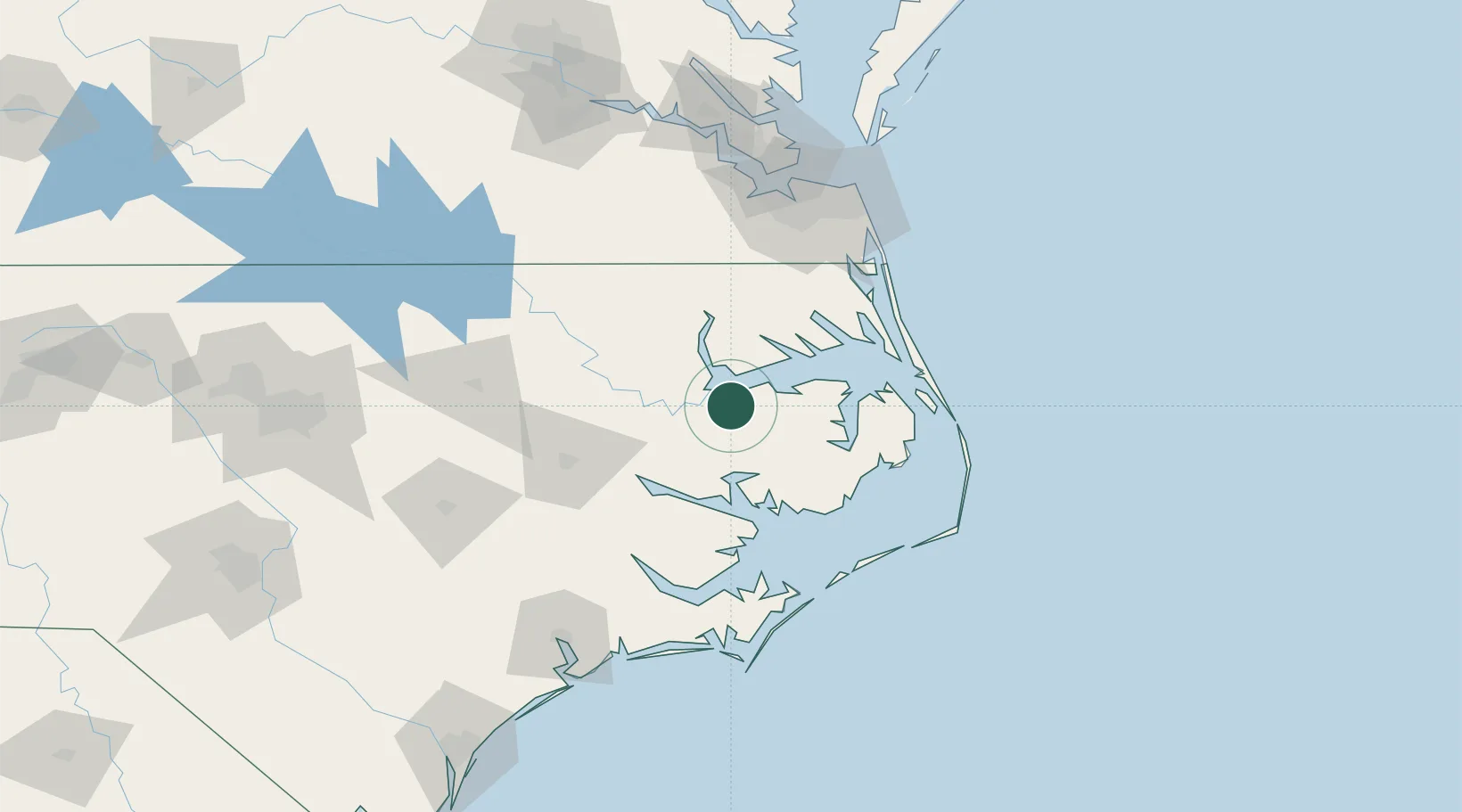
North Carolina
Population
570
Time zone
America/New_York
Elevation
4 m
Location
Nearby Logistics Neighbours
Cities
- 1Merry Hill22 km
- 2Pantego32 km
- 3Belhaven37 km
- 4Tyner45 km
- 5Bath48 km
Airports
Trade Zones
- 1FTZ No. 020 Suffolk117 km
- 2FTZ No. 214 Lenoir County138 km
- 3FTZ No. 207 Richmond203 km
- 4FTZ No. 093 Raleigh Durham208 km
- 5FTZ No. 185 Culpeper County321 km
DatabookThe Record of Consolidated Knowledge
United States beyond logistics?