Transport Functions
Road
Multimodal
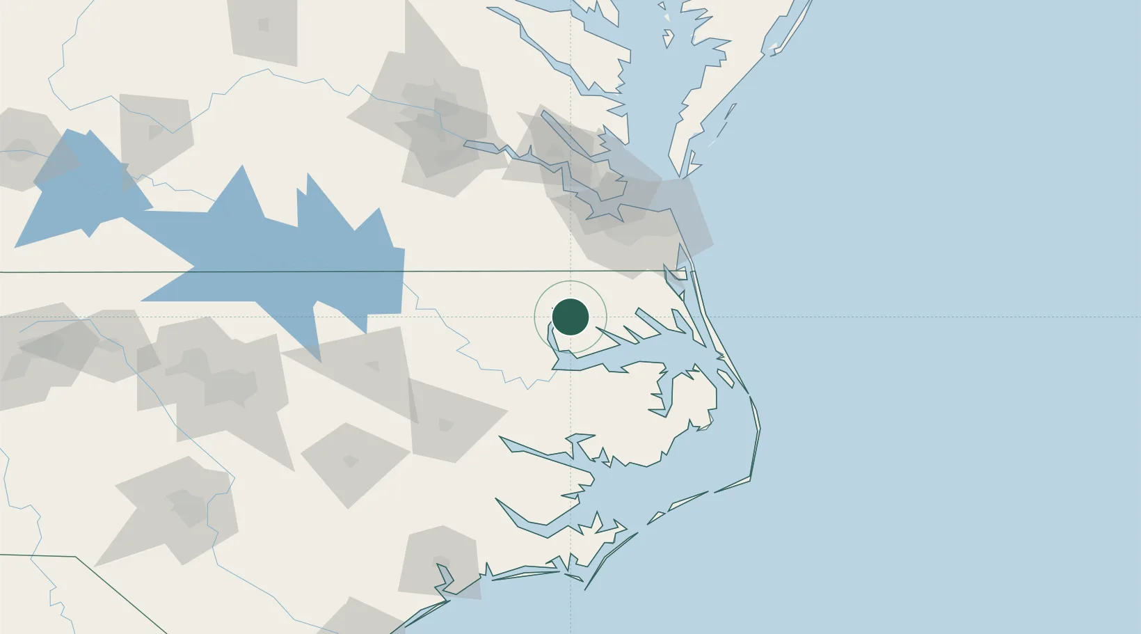
Hub Profile
Place type
Populated place
Region
New York
Time zone
America/New_York
Elevation
378 m
Location
Nearby Logistics Neighbours
Cities
- 1Merry Hill31 km
- 2South Mills33 km
- 3Roper45 km
- 4Statesville50 km
- 5Lewiston52 km
Ports
- 1Hertford16 km
- 2Edenton24 km
- 3Elizabeth City36 km
- 4Plymouth46 km
- 5Columbia51 km
Airports
Trade Zones
- 1FTZ No. 020 Suffolk73 km
- 2FTZ No. 207 Richmond163 km
- 3FTZ No. 214 Lenoir County164 km
- 4FTZ No. 093 Raleigh Durham210 km
- 5FTZ No. 185 Culpeper County280 km
DatabookThe Record of Consolidated Knowledge
United States beyond logistics?