UN/LOCODE hub · United States
USPXD
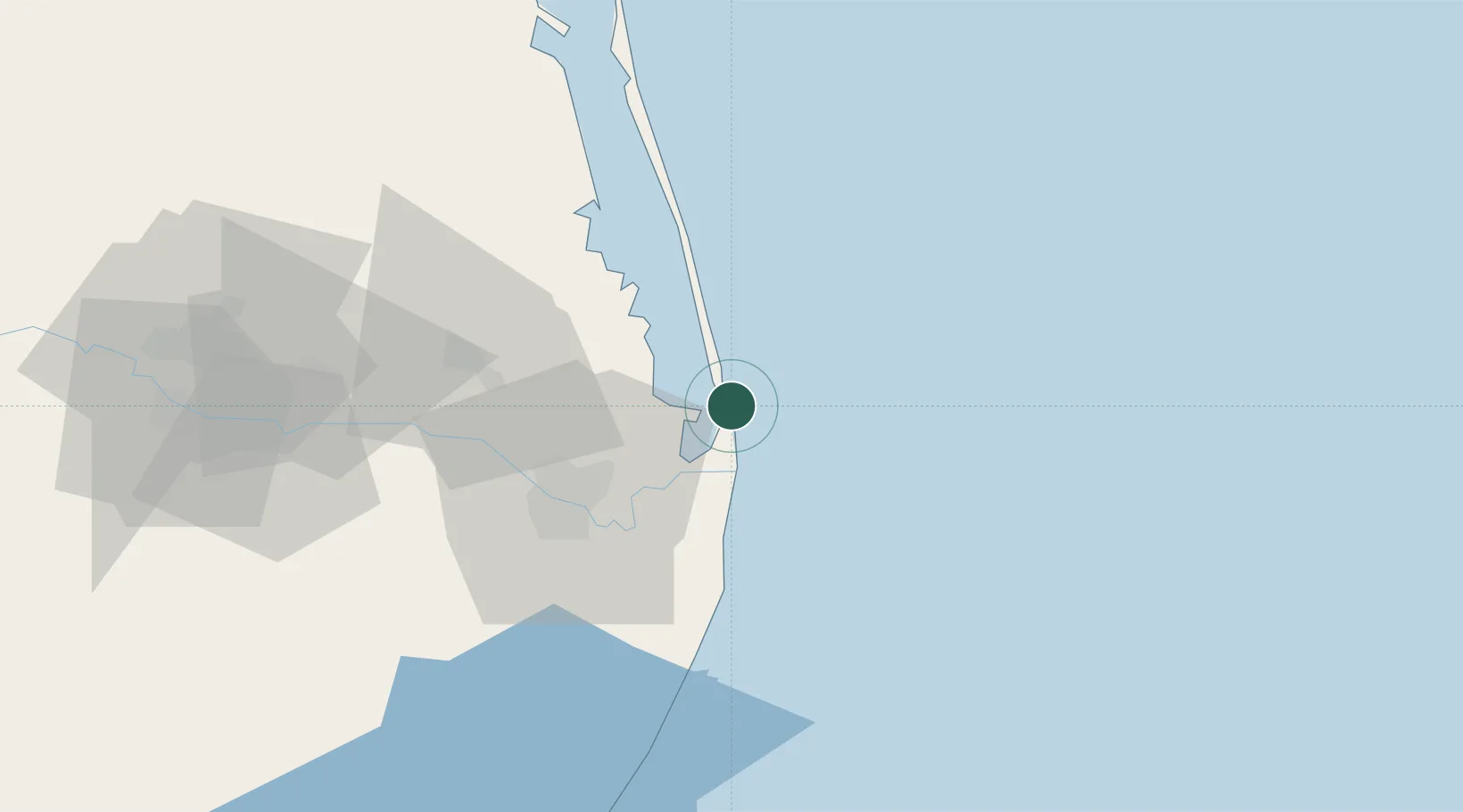
South Padre Island
26.1000°, -97.1500°
2,884
Population
2
Transport functions
Transport Functions
Port
Road
Hub Profile
Place type
Populated place
Region
Texas
Population
2,884
Time zone
America/Chicago
Elevation
2 m
Location
Nearby Logistics Neighbours
Cities
- 1Los Fresnos32 km
- 2Brownsville35 km
- 3Olmito39 km
- 4Combes59 km
- 5Los Indios60 km
Ports
- 1Port Isabel5 km
- 2Brownsville30 km
- 3Port Ingleside191 km
- 4Corpus Christi193 km
- 5Port Aransas193 km
Airports
Trade Zones
- 1FTZ No. 062 Brownsville31 km
- 2FTZ No. 156 Weslaco87 km
- 3FTZ No. 157 Casper87 km
- 4FTZ No. 012 McAllen112 km
- 5FTZ No. 095 Starr County169 km
DatabookThe Record of Consolidated Knowledge
United States beyond logistics?