UN/LOCODE hub · United States
USLII
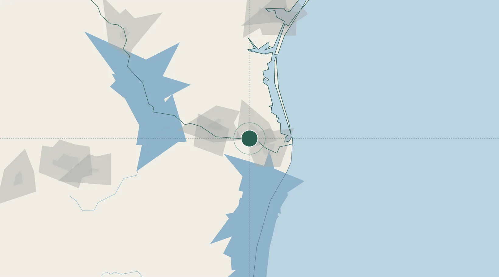
Los Indios
26.0500°, -97.7500°
1,114
Population
2
Transport functions
Transport Functions
Rail
Road
Hub Profile
Place type
Populated place
Region
Texas
Population
1,114
Time zone
America/Chicago
Elevation
17 m
Location
Nearby Logistics Neighbours
Cities
- 1Combes21 km
- 2Olmito22 km
- 3Los Fresnos28 km
- 4Brownsville33 km
- 5Ciudad Río Bravo35 km
Ports
- 1Brownsville37 km
- 2Port Isabel55 km
- 3Corpus Christi200 km
- 4Port Ingleside204 km
- 5Port Aransas210 km
Airports
Trade Zones
- 1FTZ No. 156 Weslaco30 km
- 2FTZ No. 157 Casper30 km
- 3FTZ No. 062 Brownsville36 km
- 4FTZ No. 012 McAllen53 km
- 5FTZ No. 095 Starr County113 km
DatabookThe Record of Consolidated Knowledge
United States beyond logistics?