UN/LOCODE hub · United States
USBRO
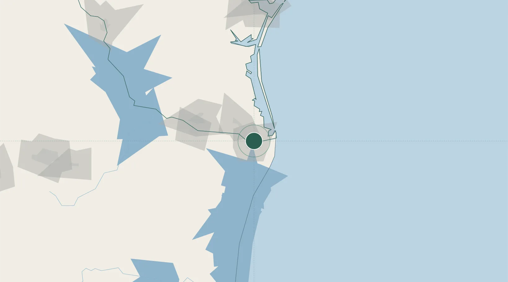
Brownsville
25.9328°, -97.4492°
186,738
Population
4
Transport functions
Transport Functions
Port
Rail
Road
Airport
Hub Profile
Place type
Provincial seat
Region
Texas
Population
186,738
Time zone
America/Chicago
Elevation
10 m
Logistics facilities
2
Location
Nearby Logistics Neighbours
Cities
- 1Olmito13 km
- 2Los Fresnos15 km
- 3Los Indios33 km
- 4South Padre Island35 km
- 5Combes43 km
Ports
- 1Port Isabel30 km
- 2Corpus Christi210 km
- 3Port Ingleside211 km
- 4Port Aransas215 km
- 5Rockport235 km
Airports
Trade Zones
- 1FTZ No. 062 Brownsville4 km
- 2FTZ No. 156 Weslaco62 km
- 3FTZ No. 157 Casper62 km
- 4FTZ No. 012 McAllen86 km
- 5FTZ No. 095 Starr County145 km
DatabookThe Record of Consolidated Knowledge
United States beyond logistics?