Transport Functions
Rail
Road
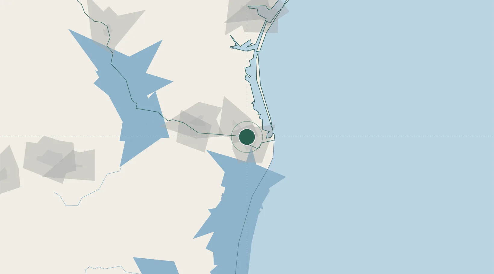
Hub Profile
Place type
Populated place
Region
Texas
Population
1,210
Time zone
America/Chicago
Elevation
9 m
Location
Nearby Logistics Neighbours
Cities
- 1Los Fresnos9 km
- 2Brownsville13 km
- 3Los Indios22 km
- 4Combes30 km
- 5South Padre Island39 km
Ports
- 1Brownsville15 km
- 2Port Isabel34 km
- 3Corpus Christi201 km
- 4Port Ingleside203 km
- 5Port Aransas208 km
Airports
Trade Zones
- 1FTZ No. 062 Brownsville14 km
- 2FTZ No. 156 Weslaco51 km
- 3FTZ No. 157 Casper51 km
- 4FTZ No. 012 McAllen75 km
- 5FTZ No. 095 Starr County134 km
DatabookThe Record of Consolidated Knowledge
United States beyond logistics?