Medium airport · United States
Brownsville South Padre Island International AirportKBRO
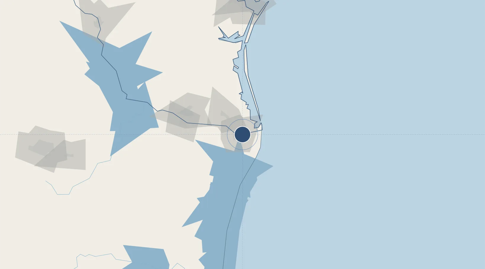
25.9072°, -97.4252°
7,399 ft
Longest runway
2
Runways
22 ft
Elevation
Runway & Layout

Radio Frequencies
ATIS
128.55 MHz
TWR
118.9 MHz
GND
121.9 MHz
CTAF
118.9 MHz
A/D
119.5 MHz
VALLEY APP/DEP
RDO
122.3 MHz
SAN ANGELO RDO
UNIC
122.95 MHz
UNICOM
Navaids
BR NDB Depoo 393 kHz
BRO VORTAC Brownsville 116.30 MHz
Runways · 2
| Runway | Dimensions | Surface | True heading | Lit |
|---|---|---|---|---|
| 13/31 | 7,399 × 150ft | Asphalt | 135° | ✓ |
| 18/36 | 6,000 × 150ft | Asphalt | 182° | ✓ |
Airport Specifications
IATA code
BRO
ICAO code
KBRO
Airport class
Medium airport
Scheduled service
Yes
Runway surface
Asphalt
Served city
Brownsville
Location
Nearby Logistics Neighbours
Airports
Cities
- 1Brownsville4 km
- 2Olmito16 km
- 3Los Fresnos18 km
- 4South Padre Island35 km
- 5Los Indios36 km
Ports
- 1Brownsville5 km
- 2Port Isabel30 km
- 3Corpus Christi212 km
- 4Port Ingleside214 km
- 5Port Aransas217 km
Trade Zones
- 1FTZ No. 062 Brownsville5 km
- 2FTZ No. 156 Weslaco66 km
- 3FTZ No. 157 Casper66 km
- 4FTZ No. 012 McAllen89 km
- 5FTZ No. 095 Starr County149 km
DatabookThe Record of Consolidated Knowledge
United States beyond logistics?