UN/LOCODE hub · United States
USOFS
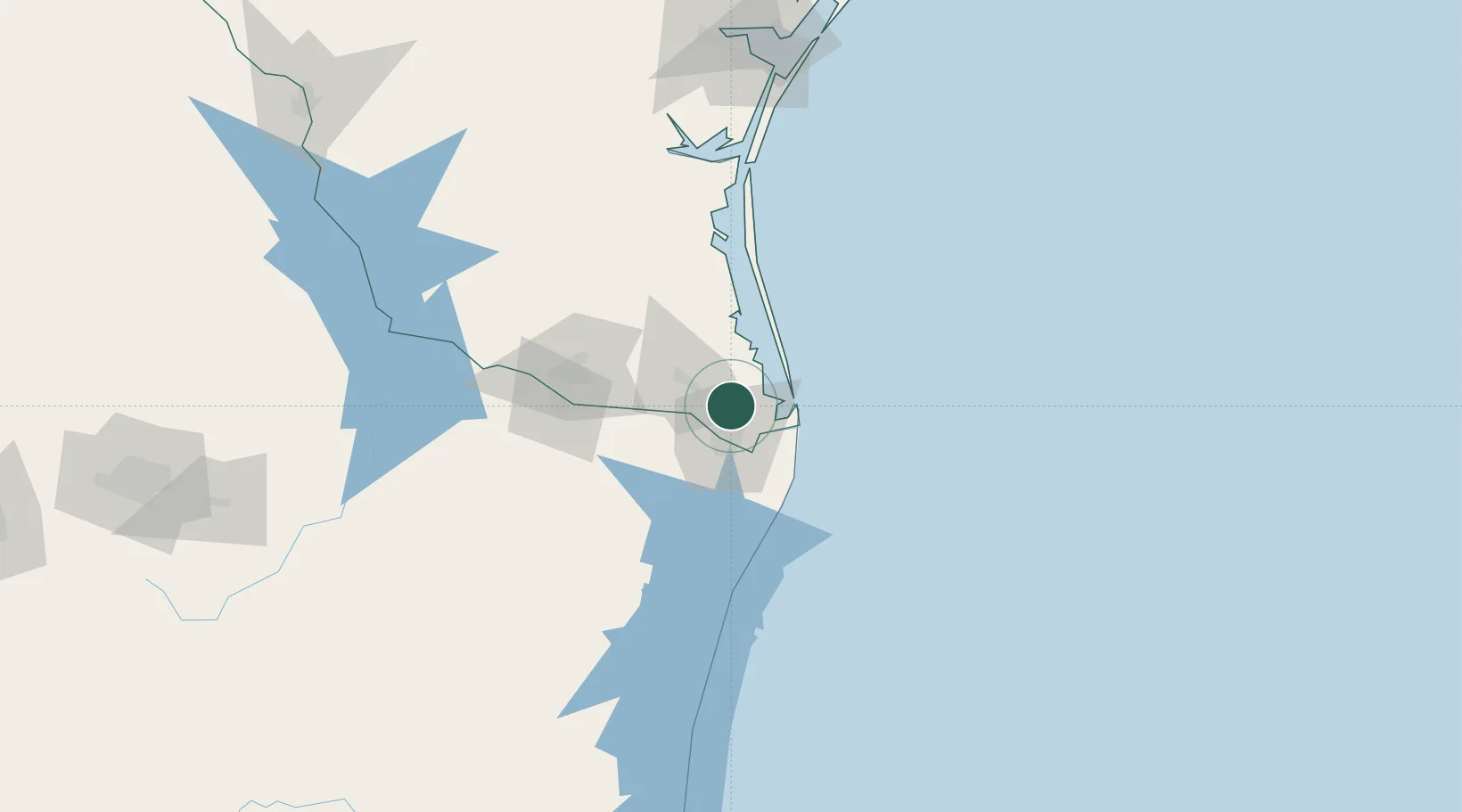
Los Fresnos
26.0667°, -97.4667°
6,582
Population
2
Transport functions
Transport Functions
Rail
Road
Hub Profile
Place type
Populated place
Region
Texas
Population
6,582
Time zone
America/Chicago
Elevation
7 m
Location
Nearby Logistics Neighbours
Cities
- 1Olmito9 km
- 2Brownsville15 km
- 3Los Indios28 km
- 4Combes31 km
- 5South Padre Island32 km
Ports
- 1Brownsville15 km
- 2Port Isabel27 km
- 3Corpus Christi195 km
- 4Port Ingleside197 km
- 5Port Aransas201 km
Airports
Trade Zones
- 1FTZ No. 062 Brownsville14 km
- 2FTZ No. 156 Weslaco56 km
- 3FTZ No. 157 Casper56 km
- 4FTZ No. 012 McAllen81 km
- 5FTZ No. 095 Starr County139 km
DatabookThe Record of Consolidated Knowledge
United States beyond logistics?